What is recorded here
In pasture, on gentle E-facing slope. Depicted as roughly oval field (c. 40m N-S; c. 35m E-W) on 1842 OS 6-inch map, with linear sides to SW, NW and N; opening to S into farm laneway. Levelled; circular area (38.8m E-W; 34.8m N-S) bisected off-centre to E by N-S laneway. Interior defined by scarp (max. H 0.6m), higher on E side of laneway; inner lip surviving for short distance on N side, probably indicates former presence of bank. West half of interior wetter than surrounding field.
The above description is derived from the published 'Archaeological Inventory of County Cork. Volume 4: North Cork' (Dublin: Stationery Office, 2000). In certain instances the entries have been revised and updated in the light of recent research.
Date of upload/revision: 14 January 2009
The monument record does not grant public access. Check the route and ask the landowner before entering private land.
- What survives
- Recorded monument
Places near here
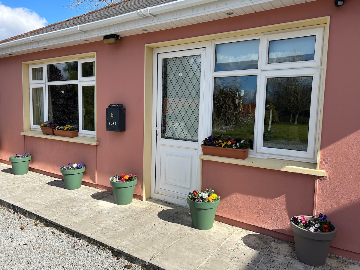 Enclosure in Curraglass (orrery and Kilmore By.)Enclosure · 772 yd
 IndicatedEnclosure · 855 yd
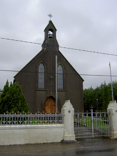 Saint Mary's Churchchurch/chapel · 979 yd
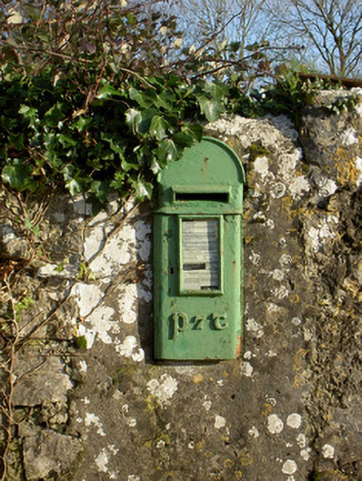 post boxpost box · 1028 yd
 Lisgriffin CastleCastle · 1200 yd
 Lady's WellSpring · 1368 yd
 Bawn of Kilmaclenine (in Ruins)House, fortified house · 1.5 mi
 Graveyard in Ballygiblin (duhallow By.)Graveyard · 3.3 mi
 Battle of LiscarrollMajor battlefield · 3.6 mi
 European YewEuropean Yew · 4.6 mi
 Burial ground in AssolasBurial ground · 4.8 mi
 Hanna SheehyMemorial · 7.0 mi