What is recorded here
On a flat hillock with land sloping to the E and W, in gently undulating pasture. Circular area (diam. 48m N-S; c. 55m E-W) delineated by an earthen field bank (Wth 0.85m; int. H 0.95m; ext. H 1.25m) and hedgerow, except in the W quadrant where it has been removed. The interior slopes to the S. The townland boundary respects the curve of the enclosure from NW-N-E-S. A circular cropmark (TS075-006002-) has been indentified in the field immmediately to N.
Compiled by: Jean Farrelly
Date of upload: 31 March 2014
This remains an important historical record, but the official description says the monument is no longer visible or has been destroyed. The monument record does not grant public access. Check the route and ask the landowner before entering private land.
- What survives
- No visible remains or recorded as destroyed
Places near here
 Enclosure in Drangan MoreEnclosure · 67 yd
 Castle in ruins)Castle, unclassified · 513 yd
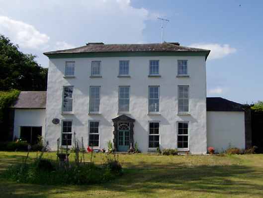 Kilmoyler Housecountry house · 516 yd
 Catholic Church of Our Lady of the Assumptionchurch/chapel · 826 yd
 IndicatedEnclosure · 1082 yd
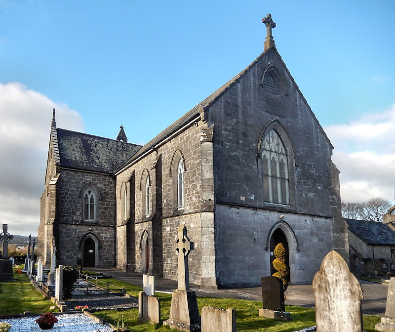 RathwealCastle, ringwork · 1.1 mi
 Caucasian zelkovaCaucasian zelkova · 1.2 mi
 Cappa WoodWood · 1.9 mi
 Slieveanard NE TopMountain / peak · 2.5 mi
 SlieveanardMountain / peak · 3.2 mi
 Caher AbbeyHeritage attraction · 3.6 mi
 Siege of Cahir Castlesiege · 3.7 mi