What is recorded here
Indicated is a walled graveyard beside the Dowdstown church where one illegible stone still stands while medieval metal slag and green-glazed pottery remain buried beneath the grass. The place sits on a shallow SW-facing shelf above a small stream that joins the River Boyne, giving it the quiet danger of a hidden workshop as much as a burial ground. People may have lived, made things and died there before the church gave the land its present shape.
Situated just off the crest of a shelf on a SW-facing slope with a small SE-NW stream c. 120m to the SW, and it is located c. 450m SE of where this stream enters a SW-NE section of the River Boyne. The parish church of Dowdstown (ME031-007----) is within a rectangular graveyard (dims c. 33m E-W; c. 25m N-S) defined by masonry walls, in which only one headstone with an illegible inscription survives.
Archaeological testing (04E1499) by R. Tobin on the line of a sewer pipe that came within 40m of the graveyard encountered evidence of medieval settlement over an extensive area. This was confirmed in further testing (051138; excavations.ie 2005:1172) by L. McGowan during 2005 which demonstrated the archaeological material was even more extensive, but details on both excavations are lacking. In the later excavation some prehistoric pits were present but the bulk of the material was associated with metal slag, green-glazed pottery and both drystone-built and masonry structures. There was also evidence of a post-medieval field system, but the plans for the sewage pipe were altered and the archaeological remains are preserved in situ.
Compiled by: Michael Moore
Date of upload: 9 January, 2015
Amended: 26 April, 2021
The monument record does not grant public access. Check the route and ask the landowner before entering private land.
- What survives
- Recorded monument
Places near here
 European YewEuropean Yew · 988 yd
 Enclosure in BallinterEnclosure · 1317 yd
 Enclosure in ArdsallaghEnclosure · 1476 yd
 Fox CovertWood · 1.1 mi
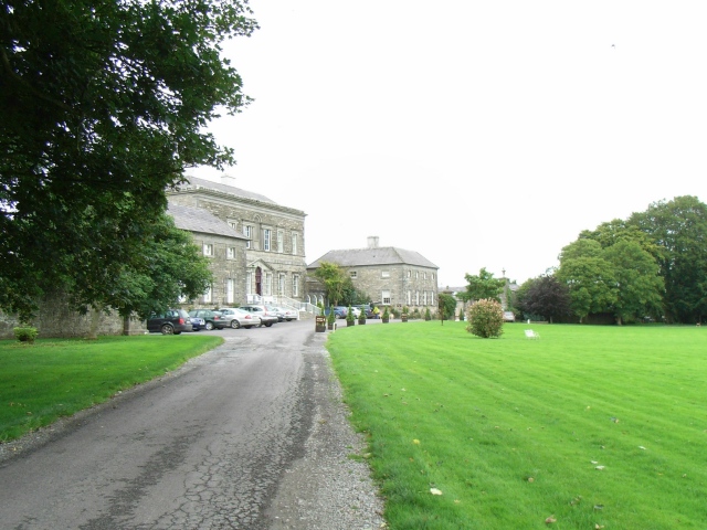 Bellinter Housecountry house · 1.2 mi
 ChapelChurch · 1.5 mi
 CastleCastle, tower house · 1.8 mi
 Hill of TaraVisitor information · 2.1 mi
 Saint Patrick'sMemorial · 2.1 mi
 Tara Open StudioGallery · 2.1 mi
 Assey CastleCastle, tower house · 2.2 mi
 Battle of Tara (Ireland)Major battlefield · 2.3 mi