What is recorded here
Located on a slight rise on a fairly level landscape and c. 20m from the crest of the scarp down to the floodplain of a SW-NE section of the River Boyne which is c. 160m distant. The cropmark of a circular area (diam. c. 25m) defined by a complete inner fosse with an outer fosse visible NE-S-NW is visible on an OSI image (1995). It is cut by the cropmark of a NW-SE field drain towards the edge at N. It is also faintly visible on Digital Globe (2011-13), Aerial Premium (2013-18) and Google Earth (12/07/2013). It was first reported by Colin Byrne.
Compiled by Geraldine Stout
Updated by: Paul Walsh, Michael Moore
Date of upload: 26 October 2014
Amended: 20 January 2022
A local fairy fort (ringfort/rath); wider significance not recorded.
The monument record does not grant public access. Check the route and ask the landowner before entering private land.
- What survives
- Recorded monument
Places near here
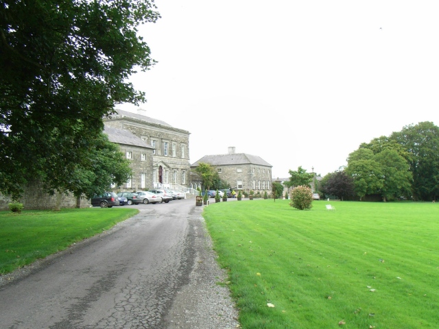 Bellinter Housecountry house · 852 yd
 Enclosure in BallinterEnclosure · 865 yd
 European BeechEuropean Beech · 950 yd
 Fox CovertWood · 1272 yd
 Church (in Ruins)Church · 1.0 mi
 Enclosure in Grange (navan Upper By.)Enclosure · 1.1 mi
 Assey CastleCastle, tower house · 1.4 mi
 CastleCastle, unclassified · 2.2 mi
 Hill of TaraVisitor information · 2.5 mi
 Saint Patrick'sMemorial · 2.5 mi
 Tara Open StudioGallery · 2.6 mi
 Battle of Tara (Ireland)Major battlefield · 2.6 mi
Other information
Photo: Credit not shown in the picture search · Rights wording not checked; contact us if this picture should be removed