What is recorded here
In pasture, to the rear of a house. A roughly circular area (38m E-W; c. 37m N-S) defined by an earth and stone bank (Wth 6m; int. H 1.3m; ext. H 1.8m) WSW-NNE and by a scarp SE-WSW. A breeze-block wall (H c. 1m) defines and truncates the E sector. There is a gap in the bank at NNE. An E-W field boundary abuts the scarp externally along the S arc. This is the small rath in which there is 'nothing remarkable' which was referred to in the 1840s as being 'about 5 chains west of Doonryan Turnpike (OSNB, Kilcummin, no. 3, 15).
In pasture, to the rear of a house. A roughly circular area (38m E-W; c. 37m N-S) defined by an earth and stone bank (Wth 6m; int. H 1.3m; ext. H 1.8m) WSW-NNE and by a scarp SE-WSW. A breeze-block wall (H c. 1m) defines and truncates the E sector. There is a gap in the bank at NNE. An E-W field boundary abuts the scarp externally along the S arc. This is the small rath in which there is 'nothing remarkable'…
From the National Monuments Service (Archaeological Survey of Ireland) record KE058-063
The monument record does not grant public access. Check the route and ask the landowner before entering private land.
- What survives
- Recorded monument
Places near here
Photo credits
- Mike Searle, Geograph · CC BY-SA 2.0
- Berthold Strucken, Wikimedia Commons · CC BY-SA 4.0
- Bkwillwm, Wikimedia Commons · CC BY-SA 3.0
- National Inventory of Architectural Heritage
- EecherplazGinkgo06.jpg : Cayambe derivative work: Ginkgotree ( talk ), Wikimedia Commons · CC BY-SA 3.0
- Colin Park, Geograph · CC BY-SA 2.0
- Mike Murphy ( talk · contribs ), Wikimedia Commons · CC BY-SA 3.0
- Marathon, Geograph · CC BY-SA 2.0
- Humphrey Bolton, Geograph · CC BY-SA 2.0
- Adrian Beney, Wikimedia Commons · CC BY-SA 2.0
- Keith Salvesen, Geograph · CC BY-SA 2.0
 Aghadoe Church (in Ruins)Church · 2.8 mi
_1.jpg/250px-Aghadoe_(Early_Medieval_Ecclesiastical_Site)_1.jpg "Photo: Berthold Strucken, Wikimedia Commons · CC BY-SA 4.0") Aghadoe Early Medieval Ecclesiastical SiteHeritage attraction · 2.8 mi
Aghadoe Early Medieval Ecclesiastical SiteHeritage attraction · 2.8 mi Parkavonear CastleCastle · 2.8 mi
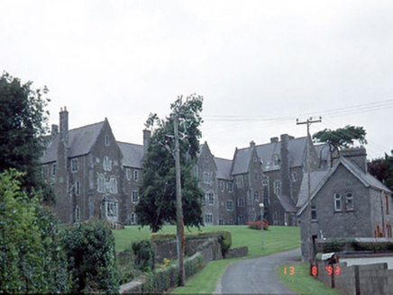 Saint Finan's HospitalHospital/infirmary · 3.0 mi
 Ginkgo3.2 mi
 Circular WalkWalking route · 3.5 mi
 Giant Sequoia3.5 mi
 Monsignor Hugh O'Flaherty MemorialMemorial · 3.6 mi
 River WalkWalking route · 4.0 mi
 Lamb IslandIsland · 4.1 mi
 Cherry IslandIsland · 4.5 mi
 Innisfallen Abbey (in Ruins)Ecclesiastical site · 4.6 mi
More archaeology and monuments in County Kerry · All of County Kerry
What do you know about this place?