What is recorded here
The fairy fort or earthen ringfort in Doomore (leyny By.) is in County Sligo, Ireland. It occupies a gentle north-facing pasture slope immediately west of a road. A flat-topped earthen bank and scarp enclose the raised circular area, while cattle gaps and a recent ramp interrupt the structure.
In pasture, on a gentle N-facing slope and immediately W of a road. A raised circular area (29.5m N-S) enclosed by a flat-topped earthen bank (Wth 2.5m; int. H 0.7m; ext. H 1.3m) NE-NW and by a scarp (H 1m) elsewhere. Numerous cattle gaps occur in the bank, including one at NW with a recently constructed ramp from the outside. A band of rushes (Wth 3m), evident in places around the bank, may indicate a silted-up external fosse. Some hawthorn bushes grow on the rath and a shed is built a short distance to N.
The above description is derived from the published 'Archaeological Inventory of County Sligo' compiled by Ursula Egan, Elizabeth Byrne, Mary Sleeman with Sheila Ronan and Connie Murphy (Dublin Stationery Office, 2005).
Date of upload: 18 January 2008
The monument record does not grant public access. Check the route and ask the landowner before entering private land.
- What survives
- Recorded monument
Places near here
 IndicatedFairy fort / earthen ringfort · 908 yd
 Indicated (1838).Fairy fort / earthen ringfort · 1.1 mi
 FriaryReligious house, Franciscan Third Order Regular · 2.0 mi
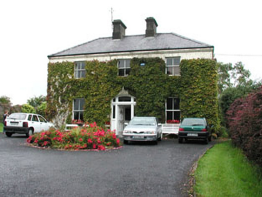 Springmounthouse · 2.3 mi
 Ballyara Castle (in Ruins)Castle, unclassified · 2.3 mi
 Muckelty HillMountain / peak · 2.7 mi
 Tawnyart WoodWood · 2.7 mi
 Castle (Site of)Castle, unclassified · 2.9 mi
 New WoodWood · 3.1 mi
 KnocknasheeMountain / peak · 4.0 mi
 Mass RockNamed rock · 4.2 mi
 The Turf Stack RockNamed rock · 4.6 mi