What is recorded here
The NE-SW bridge (Wth 7.4m) over the Owenroe or Moynalty River is not represented on the Down Survey maps (1655-8) but the bridge may have been built before the end of the century on the route from Kells to Co. Cavan. It has six rounded arches (at N: Wth 2.4m) but the bridge was widened and the NW side (Wth 4m) has now settled lower than the SE (Wth 3.4m). There are five break-waters on the upstream side and the parapet is level but there are no pedestrian refuges.
Compiled by: Michael Moore
Date of upload: 9 April 2019
The monument record does not grant public access. Check the route and ask the landowner before entering private land.
- What survives
- Recorded monument
Places near here
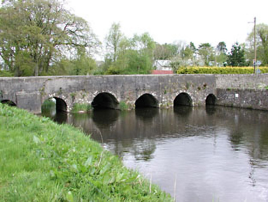 Moynalty Bridgebridge · 2 yd
 St. Marys ChurchChurch · 60 yd
 Moynalty Steam Threshing MuseumMuseum · 182 yd
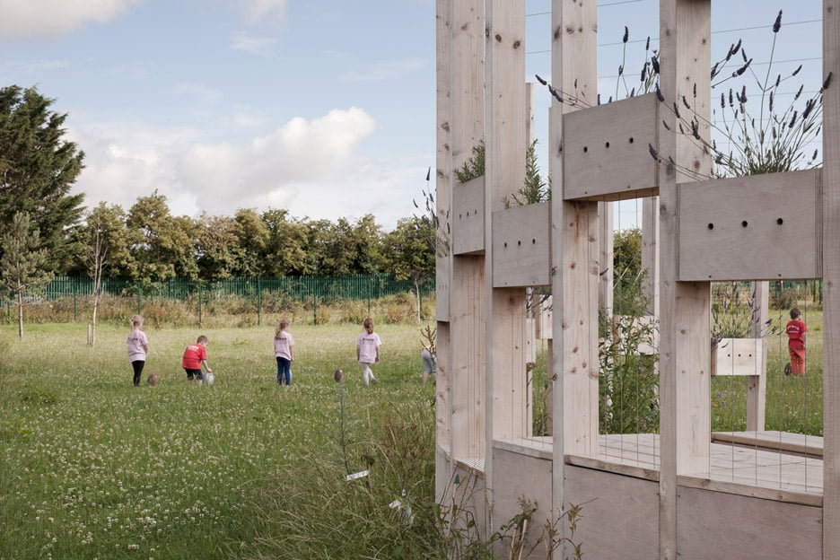 Moynalty Hedge SchoolArchaeological place · 303 yd
 Saltford FortWood · 581 yd
 Middle WoodWood · 605 yd
 Reillystown FortArchaeological place · 800 yd
 Castle (in Ruins)Castle, unclassified · 1658 yd
 CastleCastle, motte · 2.1 mi
 MaperathMountain / peak · 2.4 mi
 UghtyneillMountain / peak · 2.5 mi
 John Mac MahonMemorial · 2.9 mi