What is recorded here
In pasture, located on a low roughly E−W ridge, with views stretching N to the Ox Mountains. Knocknashee is visible to N, Knocknarae to NNE and Ben Bulben to NE. The Roscommon county boundary is located c. 290m to SW.
This rath consists of an oval raised area or platform (19.5m N−S; 11.2m E−W) defined by a sod-covered stony scarp (H 1.4m at N−NW, 0.8m at E & S; Wth slope 2m at N, 1.5m at S). A short section of the scarp is quarried out at SW.
According to tradition, there is a children’s burial ground (MA064-002002-) here, but no graves are now evident in the interior; a low heap of stones (c. 4-5m across), adjacent to an ash tree, immediately to SW of the rath, may mark graves.
Compiled by: Jane O'Shaughnessy
Date of upload: 26 June 2020
The monument record does not grant public access. Check the route and ask the landowner before entering private land.
- What survives
- Recorded monument
Places near here
 IndicatedFairy fort / earthen ringfort · 1.4 mi
 Bockagh HillMountain / peak · 1.7 mi
 CaveHoly well · 1.8 mi
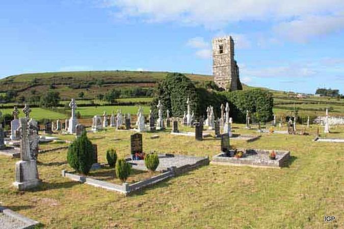 Abbey (in Ruins)Church · 1.9 mi
 Church in Doogary ((costello By.)Church · 2.9 mi
 Old Cave Burial GroundArchaeological place · 3.4 mi
 CastleCastle, unclassified · 4.4 mi
 Casatle (ruins)Castle, unclassified · 4.4 mi
 Crow IslandIslet · 7.0 mi
 Castle PointHeadland · 7.4 mi
 Inch IslandIslet · 7.5 mi
 Rose PointHeadland · 7.6 mi