What is recorded here
Indicated is a broken stone ring at the foot of Slieve Miskish, with a narrow gap and a separate mound nearby. It is the kind of place where people may have kept animals, hidden during storms, or marked a boundary they no longer remember. The mountain still stands above it, but the hand that built the circle has vanished.
In pasture, at foot of Slieve Miskish mountain, on gentle SSE-facing slope.Circular area (20m N-S; 22.5m E-W) enclosed by collapsed stone wall NE->W; original external facing visible to S and SW; topped by later wall which continues around to NE. Gap to SSW (Wth 2.5m). Mound (CO115-03502-) lies 30m to E of enclosure.
The above description is derived from the published 'Archaeological Inventory of County Cork. Volume 1: West Cork' (Dublin: Stationery Office, 1992). In certain instances the entries have been revised and updated in the light of recent research.
Date of upload/revision: 14 January 2009
The monument record does not grant public access. Check the route and ask the landowner before entering private land.
- What survives
- Recorded monument
Places near here
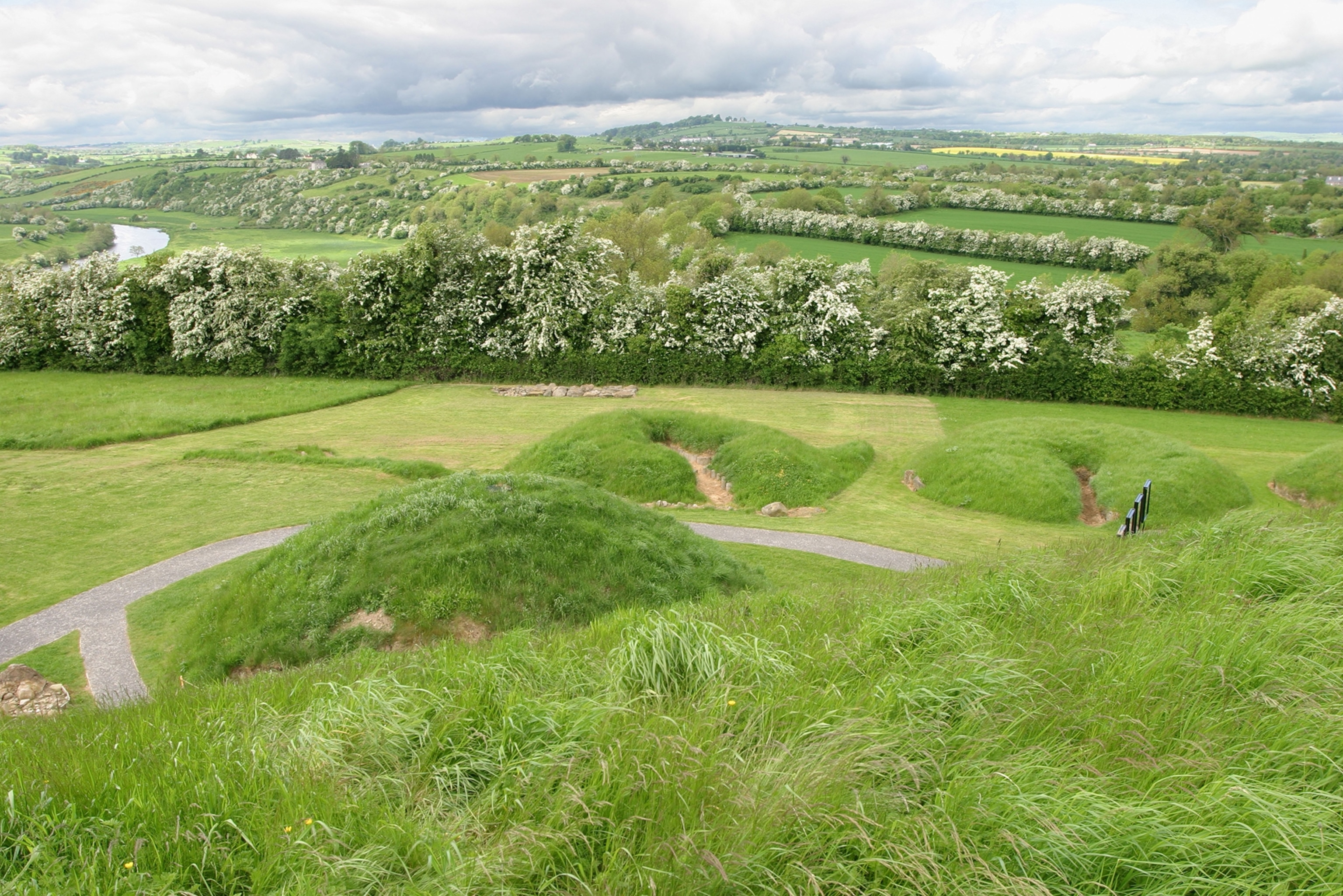 Mound in Derrymihin EastMound · 20 yd
 Mass-rock in Derrymihin EastMass-rock · 671 yd
 IndicatedChurch · 1.0 mi
 Minane IslandIslet · 1.3 mi
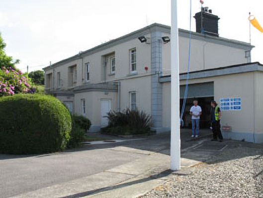 The Lighthouse Dwellingslighthouse keeper's house · 1.3 mi
 Eagle HillMountain / peak · 1.5 mi
 Beara WayWalking route · 1.6 mi
 TrawnablahaBeach / strand · 1.6 mi
 Dinish IslandIslet · 1.7 mi
 Holly HillMountain / peak · 1.7 mi
 Berehaven Battalion MemorialMemorial · 1.8 mi
 Sarah Walker GalleryGallery · 2.0 mi