What is recorded here
Marked 'Fort' on OS 1836 and 1876 eds. Raised almost circular area (diam. c. 30m) which has been planted with trees. Situated in low-lying wet marshy ground.
The above description is derived from the published 'Archaeological Inventory of County Cavan' (Dublin: Stationery Office, 1995). In certain instances the entries have been revised and updated in the light of recent research.
Date of upload/revision: 22 December 2008
The monument record does not grant public access. Check the route and ask the landowner before entering private land.
- What survives
- Recorded monument
Places near here
 Granshagh or Riverview Fort (Site of)Enclosure · 1006 yd
 IndicatedFairy fort / earthen ringfort · 1094 yd
 Duck IslandIsland · 1656 yd
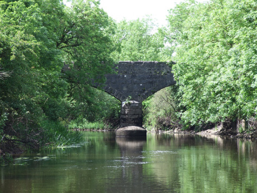 Urney Bridgebridge · 1657 yd
 Giants GraveArchaeological place · 1759 yd
 Derrygarra UpperMountain / peak · 1.1 mi
 Saint Aidan's Catholic Churchchurch/chapel · 1.2 mi
 Sheepwalk PlantationForest · 1.4 mi
 Skin-em-alive WoodWood · 1.6 mi
 DrumcalpinMountain / peak · 1.8 mi
 Annagh Lough BeachBeach / strand · 1.9 mi
 InishmuckIsland · 2.0 mi