What is recorded here
In pasture, located on top of a N–S ridge, with a steep slope on the E side and a more gradual slope to W; good views over surrounding undulating terrain, with expanses of bog to E and W.
This rath is shown on the 1838 OS 6-inch map as a large circular enclosure, with an inner ring and a substantial outer ring. The later 25-inch plan recorded it in more detail, depicting a subcircular embanked enclosure (diam. c. 20m) enclosed at a distance of c. 8m outside the bank by two outer banks with an intervening fosse; a field boundary on a roughly E–W axis extends across the N half of the rath. On 1930 OS 6-inch map, the rath is shown as a D-shaped area with only one external bank, indicating that the N third of the rath (i.e. the portion to N of the E–W field boundary) had been levelled by this date.
The rath survives as a slightly raised semicircular area (23m E–W; c. 15m N-S to fence) defined on the curving side by an earthen bank (Wth 2.8m; int. H 0.5m; ext. H 1.1m), and bordered on the straight side at N by an E–W field fence. A broad flat gap (Wth 8-9m) intervenes between the inner bank and a single outer bank (Wth c. 2m; int. H 0.25m; ext. H 0.8m). The outer bank is reduced to a scarp (ext. H 1.55m) at E–SE, with a pronounced external slope reflecting the natural ridge slope. There is no trace of a fosse and second outer bank. The remains represent the S two thirds of the original circuit; to N of the E–W field fence, the rath has been entirely levelled, with no visible trace at ground level, except for the shallow curve of a field fence at NE–E which preserves the line of an outer bank.
Densely ringed with overgrowth –hazel, hawthorn and brambles- which form an almost impenetrable thicket in the interior.
Compiled by: Jane O’Shaughnessy
Date of upload: 25 March 2020
This remains an important historical record, but the official description says the monument is no longer visible or has been destroyed. The monument record does not grant public access. Check the route and ask the landowner before entering private land.
- What survives
- No visible remains or recorded as destroyed
Places near here
 Cloghans CastleCastle, tower house · 972 yd
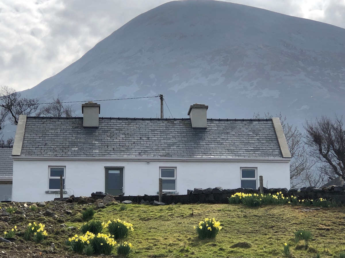 TempleancloghanChurch · 1172 yd
 RathnaathenonFairy fort / earthen ringfort · 1524 yd
 Enclosure in CorroyEnclosure · 1584 yd
 Gull IslandIslet · 1.1 mi
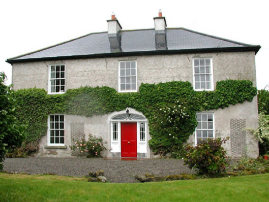 Barnfield Housefarm house · 1.1 mi
 Castle (in ruins)Castle, unclassified · 1.8 mi
 Roe IslandIslet · 3.4 mi
 Battle of Ballinabattle · 4.1 miHumbert MonumentMemorial · 4.3 mi
 Drummin ForestForest · 5.2 mi
 Titanic Memorial ParkMemorial · 5.3 mi