
What is recorded here
Marked as a circular copse (diam c. 45m) on the 1837 and 1929 eds of the OS 6-inch map, and situated at the SE end of a low NW-SE ridge. Subcircular grass-covered area (dims 37.7m E-W; 32m N-S) defined by an earthen bank (Wth 3.4-3.8m; int. H 0.2-0.6m; ext. H 1-1.4m) NW-E-WSW and a scarp (H 1.2m) elsewhere. There is no visible fosse or identifiable original entrance. A raised rectangular platform (dims 10m x 10m; H 0.1m at S to 1.5m at E) just SW of the centre is a golfing tee and a bunker (Wth 4m) has been dug inside the perimeter at E.
Compiled by: Michael Moore
Date of upload: 24 August 2010
The monument record does not grant public access. Check the route and ask the landowner before entering private land.
- What survives
- Recorded monument
Places near here
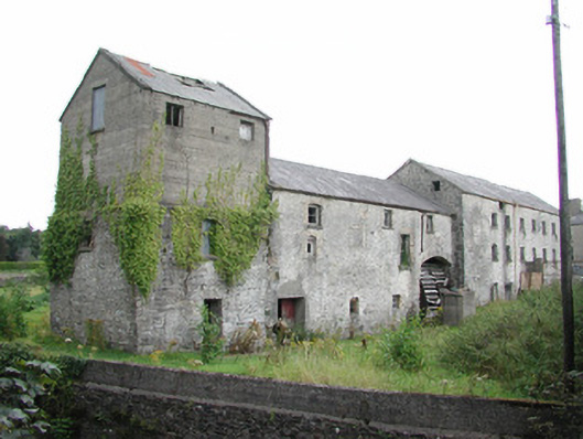 The Old Millmill (water) · 223 yd
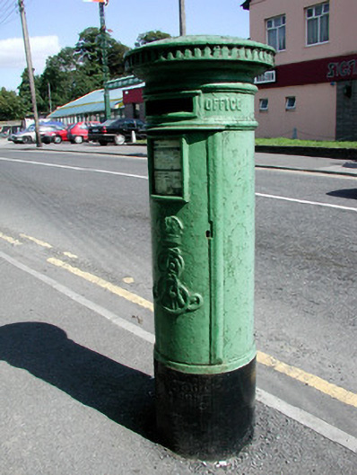 post boxpost box · 259 yd
 Farn GreenFairy fort / earthen ringfort · 654 yd
 Castlereagh HouseCastle, unclassified · 861 yd
 Settlement cluster in ArmSettlement cluster · 1295 yd
 Workhouse MemorialMemorial · 1653 yd
 Clonalis HouseMuseum · 1689 yd
 Silver IslandIslet · 1.4 mi
 Coolougher WoodForest · 2.7 mi
 Druminagh WoodForest · 4.4 mi
 CastleCastle, Anglo-Norman masonry castle · 4.8 mi
 Fairymount HillMountain / peak · 5.0 mi
Other information
Photo: Credit not shown in the picture search · Rights wording not checked; contact us if this picture should be removed