What is recorded here
Archaeological test trenching in 2002 (Excavation Licence 02E0390) revealed the eastern end of a possible hollow way, the line of which is represented as a trackway on the 1841 OS 6-inch map. (Frazer 2004, 534)
Compiled by: Claire Breen
Date of upload: 17 January 2013
From the National Monuments Service (Archaeological Survey of Ireland) record WI013-004005
Places near here
Photo credits
- National Inventory of Architectural Heritage
- Jean-Pol GRANDMONT, Wikimedia Commons · CC BY 3.0
- Aoifer, Wikimedia Commons · CC BY-SA 4.0
- Klondikeger, Wikimedia Commons · CC BY-SA 4.0
- Eirian Evans, Geograph · CC BY-SA 2.0
- Michael Dibb, Geograph · CC BY-SA 2.0
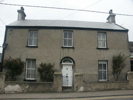 LisieuxHouse · 56 yd
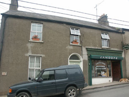 Hill View HouseHouse · 63 ydDelgany Heritage TrailWalking route · 259 yd
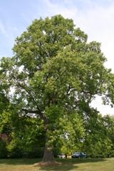 Tuliptree887 yd
 Kindlestown Castle (in ruins)Castle, hall-house · 949 ydEnclosure in FarrankellyEnclosure · 1039 ydFont in WoodlandsFont · 1423 yd
 Glen of the DownsNature reserve · 1.0 miGreystones WayWalking route · 1.4 mi
 Greystones South BeachBeach / strand · 1.5 mi
 The CoveBeach / strand · 1.6 miRathdown Castle (in ruins)Castle, unclassified · 1.9 mi
More historic places in County Wicklow · All of County Wicklow

What do you know about this place?Tap to add a comment or ask a question