What is recorded here
Indicated on the first edition OS 6-inch map. A detailed plan, elevation and photographic record of the north-western boundary of this Deerpark was undertaken in February 2000 by Johnston and Devane (2002, 364-5). 'This is a 285m length of mortared stone wall, revetting a low bank and internal ditch and defining part of the circuit of the 17th-century deer park.' (ibid)
Compiled by: Claire Breen
Date of upload: 23 January 2013
The monument record does not grant public access. Check the route and ask the landowner before entering private land.
- What survives
- Recorded monument
Places near here
 Deer Park PlantationForest · 430 yd
 Rath Turtle MoatFairy fort / ringfort · 670 yd
 Blessington DemesneWood · 952 yd
 Enclosure in NewtownparkEnclosure · 1322 yd
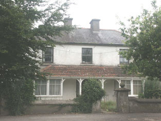 Quidarahouse · 1.0 mi
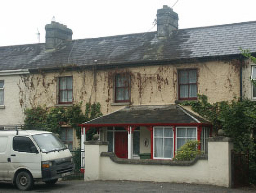 Mountain View Househouse · 1.0 mi
 The Square RenewalMemorial · 1.0 mi
 Dame Ninette de ValoisMemorial · 1.1 mi
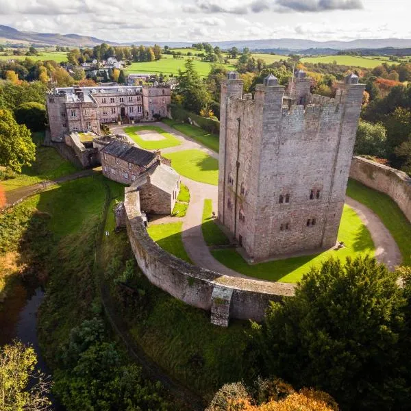 CastleCastle, ringwork · 1.8 mi
 Castle (in ruins)Castle, tower house · 2.0 mi
 Lacken – Mass Path LoopWalking route · 3.8 mi
 Cupidstown HillMountain / peak · 3.8 mi