
What is recorded here
In level pasture, on a NW-SE ridge, with good views over Carras Lough to E.
Depicted on the 1838 OS 6-inch map as a circular enclosure, and on the 1915 edition as a penannular embanked enclosure, open to E and crossed centrally on a NE-SW axis by a field boundary.
This enclosure (diam. 42m) was levelled during land reclamation work in the late 1990’s. A slightly sunken farm track, flanked by field fences, crosses it centrally on a NE-SW axis. When inspected in 2000, the outline of the levelled bank was apparent as a circular cropmark in the fields on either side of the trackway.
Part of the levelled bank on the SW arc is visible as a rise in the floor of the trackway. The rise (Wth c. 12m; H 0.7m) spans the width of the track. In line with it, a portion of the bank (W c. 5m NE−SW; H 1.2m) is preserved in section in the field fence on the N side of the track. Another rise (H 1m; Wth slope 7m) at the NE end of the trackway, where it intersects with a tarred road, is less clearly defined but probably also represents a portion of the NE arc of the levelled bank. There is a possible enclosure (MA119-073----) c. 15m to NNW.
Compiled by: Jane O’Shaughnessy
Date of upload: 10 August 2023
The monument record does not grant public access. Check the route and ask the landowner before entering private land.
- What survives
- Recorded monument
Places near here
 Enclosure in DavrosEnclosure · 69 yd
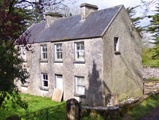 farm housefarm house · 1421 yd
 Castle in ruinsCastle, unclassified · 1555 yd
 Enclosure in Lecarrow (kilmaine By., Kilcommon Par.)Enclosure · 1589 yd
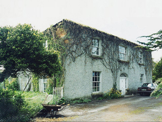 Greaghansfarm house · 1603 yd
 Castle (in ruins)Castle, unclassified · 2.0 mi
 European YewEuropean Yew · 2.2 mi
 Pesooge PlantationForest · 4.9 mi
 Mass RockNamed rock · 7.2 mi
 Ross Errilly FriaryHeritage attraction · 9.3 mi
 Inis Mhic an TrírIsland · 11 mi
 School of FalconryHeritage attraction · 11 mi
Other information
Photo: Credit not shown in the picture search · Rights wording not checked; contact us if this picture should be removed