What is recorded here
A slightly raised, crescent-shaped area (int. dims. c. 71.6m NW-SE; c. 31m NE-SW) enclosed by a trench and low earthen bank which form part of the field boundary. Original entrance not recognisable. The site is known as 'Shane's Fort' and is believed to be the burial place of Shane O'Neill (local information). An earlier report (OPW 1969) speculated that the site may be a relatively modern landscape feature but noted that the field bordering the site from SE-S-WNW is known as 'The Caldragh' (CV020-081----).
The above description is derived from the published 'Archaeological Inventory of County Cavan' (Dublin: Stationery Office, 1995). In certain instances the entries have been revised and updated in the light of recent research.
Date of upload/revision: 22 December 2008
A Neolithic henge monument, dating to the 3rd millennium BCE, indicating early ritual or ceremonial activity in the landscape. Its significance lies in its contribution to understanding prehistoric settlement and ritual practices in the region.
The monument record does not grant public access. Check the route and ask the landowner before entering private land.
- What survives
- Recorded monument
Places near here
 Cross FortsArchaeological place · 1552 yd
 Drumkeen House WoodlandWood · 1572 yd
 Ice HouseArchaeological place · 1.1 mi
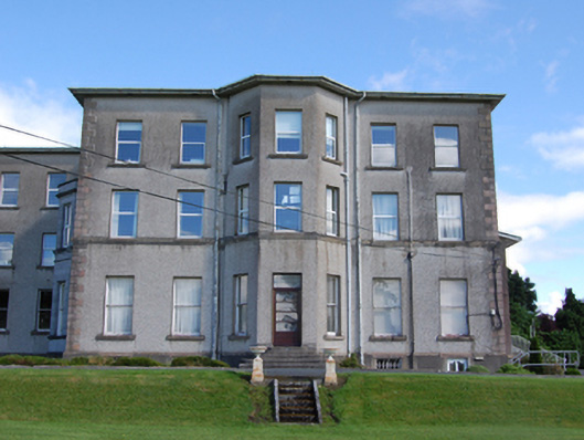 Loreto Collegecountry house · 1.1 mi
 bridgebridge · 1.2 mi
 European BeechEuropean Beech · 1.2 mi
 Derrygarra UpperMountain / peak · 1.3 mi
 BillisMountain / peak · 1.5 mi
 Giants GraveArchaeological place · 1.7 mi
 Owen Roe O'Neill graveMemorial · 2.4 mi
 CastleCastle, unclassified · 2.4 mi
 Rambling at Farnham EstateVisitor information · 2.4 mi