What is recorded here
Hachured as circular enclosure on OS 6-inch map (1842). In pasture, on hilltop. Circular area (34m N-S; 33.9m E-W) enclosed by fosse (D 1.1m) and external earthen bank (H 1.10m) SW->SE. Interior scarped on SW side to compensate for hillslope.
The above description is derived from the published 'Archaeological Inventory of County Cork. Volume 1: West Cork' (Dublin: Stationery Office, 1992). In certain instances the entries have been revised and updated in the light of recent research.
Date of upload/revision: 14 January 2009
The monument record does not grant public access. Check the route and ask the landowner before entering private land.
- What survives
- Recorded monument
Places near here
 Kill Bur. Gd. (Children) (Disused)Burial ground · 908 yd
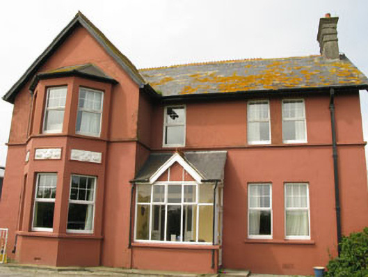 Lislevane Househouse · 1129 yd
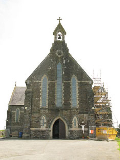 St Mary's Roman Catholic Churchchurch/chapel · 1179 yd
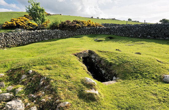 Man-made underground passage in Aghamanister AND SpitalMan-made underground passage · 1.1 mi
 War MemorialMemorial · 1.1 mi
 Timoleague ViewViewpoint · 1.1 mi
 Courtmacsherry Bay ViewViewpoint · 1.3 mi
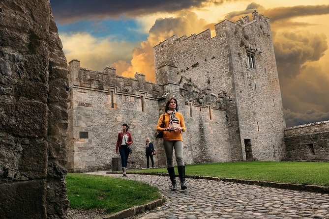 Rock Castle (in Ruins)Castle, tower house · 1.6 mi
 Mahon AbbeyHeritage attraction · 1.7 mi
 Rail SignalHeritage attraction · 1.8 mi
 Kilnamanagh WoodWood · 1.8 mi
 RailwayMemorial · 2.0 mi