What is recorded here
Located on a N-facing slope. Subcircular grass-covered area (dims. 33.5m N-S; 29m E-W) defined by an earth and stone bank (Wth 3.5-4.5m; int. H 0.2m at N (downslope) to 0.6m at S; ext. H 0.3m at S to 1.1m at N). The entrance (Wth 3.2m) is at ESE, but there is no visible fosse. Potato ridges are visible in the interior.
The above description is derived from the published 'Archaeological Inventory of County Waterford' (Dublin: Stationery Office, 1999). In certain instances the entries have been revised and updated in the light of recent research.
Date of upload/revision: 23 December 2008
The monument record does not grant public access. Check the route and ask the landowner before entering private land.
- What survives
- Recorded monument
Places near here
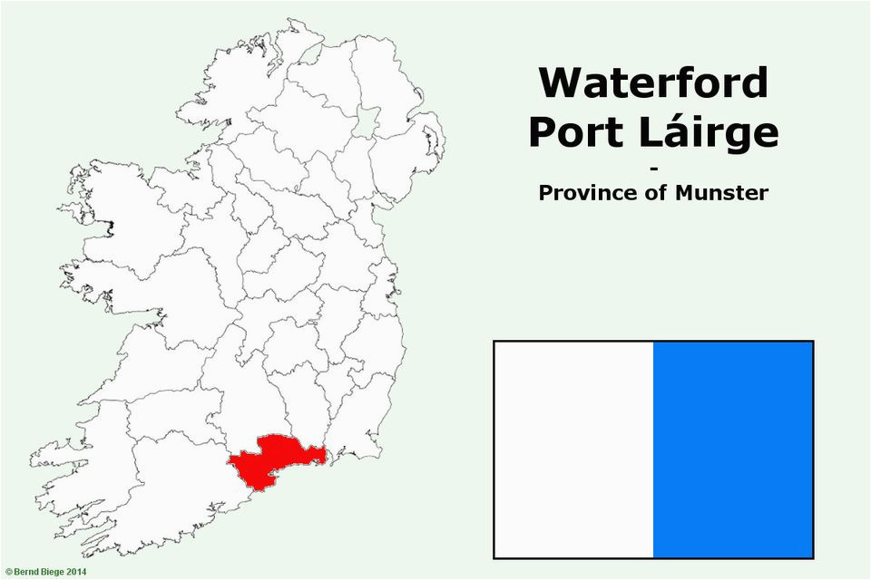 IndicatedFairy fort / earthen ringfort · 365 yd
 Site of Aughnakilla Burial GroundBurial ground · 885 yd
 CarrigseegownaMountain / peak · 1302 yd
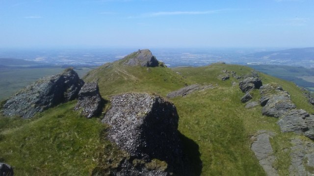 KnocksheegownaMountain / peak · 1.2 mi
 Water millWater mill, horizontal-wheeled · 1.6 mi
 Glen Poer WoodForest · 1.9 mi
 Curraheen TrailsVisitor information · 2.0 mi
 The Boolas LoopWalking route · 2.6 mi
 Ballyclohy Castle (in ruins)Castle, tower house · 2.7 mi
 Knocknacreha Housefarm house · 2.9 mi
 The Gap WalkWalking route · 3.0 mi
 Pedunculate OakPedunculate Oak · 3.0 mi