What is recorded here
On a rise in an undulating landscape. Circular grass and scrub-covered area (int. diam. 32.9m WNW-ESE; 32.6m NNE-SSW) defined by an overgrown stone spread (at S: Wth 5.3m; int. H 0.4m; ext. H 0.8-1m) ESE-WSW, which is rebuilt as an overgrown stone wall (Wth 1-1.5m; int. H 1m; ext. H 1.5-2m) WSW-NE and is visible as a scarp (H 1.2m) NE-SE. There is no identifiable original entrance, and it is bisected by a WNW-ESE drystone wall. An stone-covered area (dims c. 5m x c. 5m) inside the perimeter at SW is known locally as a children's burial ground (RO051-106002-).
Compiled by: Michael Moore
Date of upload: 24 August 2010
The monument record does not grant public access. Check the route and ask the landowner before entering private land.
- What survives
- Recorded monument
Places near here
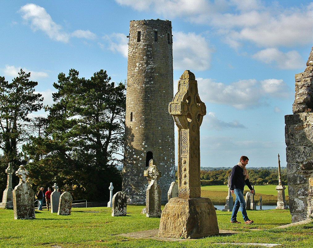 IndicatedFairy fort / earthen ringfort · 538 yd
 St Bridgets WellHoly well · 1.0 mi
 Drum ChurchChurch · 1.0 mi
 KilnKiln, corn-drying · 1.5 mi
 CastlesampsonCastle, tower house · 2.5 mi
 Castle QuarterCastle, unclassified · 2.8 mi
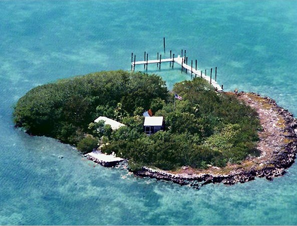 Charlie's IslandIslet · 4.3 mi
 Siege of Athlonesiege · 4.3 mi
 Bastion GalleryGallery · 4.4 mi
 Historic Town - Athlone Castle & Church of St Peter and PaulVisitor information · 4.4 mi
 Athlone CastleVisitor information · 4.4 mi