What is recorded here
Situated on NE facing slope of low rise in grassland. Depicted on the 1837 OS Fair Plan as a circular shaped enclosure with trees in the interior and annotated as ‘fort’. Depicted on the 1837 ed. OS 6-inch map as a circular grove of trees but not indicated on subsequent editions of the OS maps. No surface remains visible of levelled monument. Visible as a circular shaped cropmark (approx. diam. 35m E-W) on Digital Globe aerial photograph taken November 2011.
Compiled by: Frank Coyne and Caimin O'Brien
Date of upload: 16 June 2017
The monument record does not grant public access. Check the route and ask the landowner before entering private land.
- What survives
- Recorded monument
Places near here
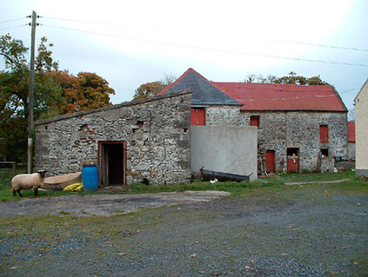 Caher Corn Millmill (water) · 476 yd
 Site of Castle, Castle FieldCastle, unclassified · 532 yd
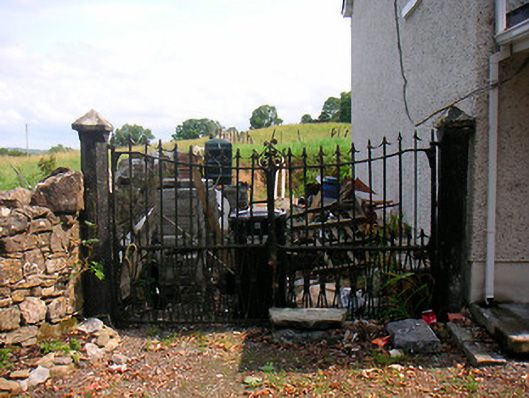 Willifield Housegates/railings/walls · 767 yd
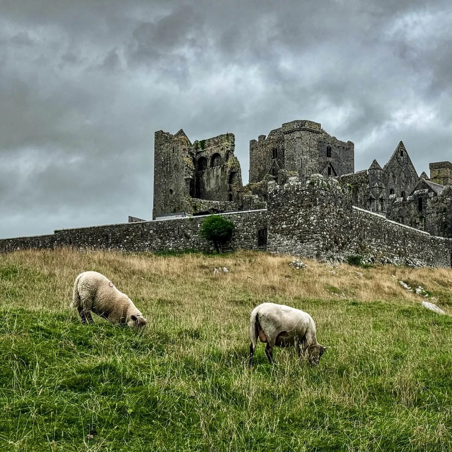 Partially hachuredFairy fort / earthen ringfort · 856 yd
 Bridgets WellHoly well · 1101 yd
 Horse-chestnutHorse-chestnut · 1366 yd
 Baronstown ForestWood · 1442 yd
 CastleCastle, motte and bailey · 1469 yd
 National Famine WayWalking route · 11 mi
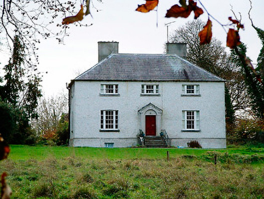 The Old Rectoryrectory/glebe/vicarage/curate's house · 1281 yd
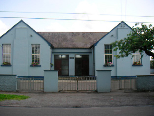 Saint Bridget's National Schoolschool · 1329 yd
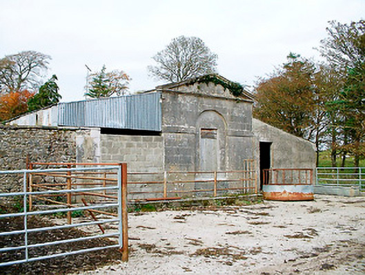 Baronstown HouseOfficially recorded historic building · 1370 yd