What is recorded here
Located in damp, rush-grown pasture, formerly part of the estate of Cummeen House, 500m S of Cummeen Strand, the inner reaches of Sligo Bay. A circular area (diam. c. 100m) is enclosed by a flat-topped earth and stone bank (Wth 5.48m, top 2.1m; int. H 0.4m; ext. H 1.67m), with an external flat-bottomed fosse (Wth base 2m). The bank is reduced to a scarp at the NE. There are several breaks in the bank, due to animal action, but the location of an original entrance is uncertain. In the centre of the flat interior, there is an enclosure (SL014-047002-), in the centre of which is a cairn (SL014-047003-). The perimeter is densely ringed with overgrowth, which encroaches in parts on the interior.
Compiled by: Patrick F. O'Donovan
Date of upload: 21 April 2011
The monument record does not grant public access. Check the route and ask the landowner before entering private land.
- What survives
- Recorded monument
Places near here
 Stone CircleEnclosure · 260 yd
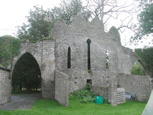 Cummeen Househouse · 346 yd
 Enclosure in CummeenEnclosure · 631 yd
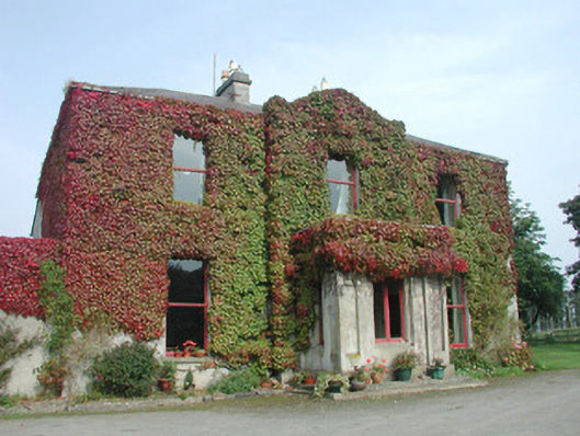 Woodville Househouse · 1202 yd
 Carrowmore Megalithic CemeteryHeritage attraction · 1.6 mi
 Carrowmore Visitors CentreVisitor information · 1.7 mi
 St. John's CathedralMemorial · 2.0 mi
 Knocknarea trailWalking route · 2.0 mi
 Castle (in Ruins)Castle, unclassified · 2.1 mi
 KnocknareaMountain / peak · 2.2 mi
 Doonanpatrick IslandIslet · 2.2 mi
 Oyster IslandIslet · 2.4 mi