What is recorded here
Not included in the SMR (1989) but listed in the RMP (1995) and classified 'House Site'. It is indicated on the 1838 edition of the OS 6-inch map as a roofed structure with a second similar structure c. 5m to E.On gently sloping ground, at the base of a scarp in the Bricklieve mountains; within a rectangular field. The remains of a trapezoidal-shaped structure (L 10m; Wth 3m at E end; Wth 3.8m at W end) with sod-covered stone walls (T 2m; int. H 1m; ext. H 0.25m). There are possible entrances are at the SE corner (Wth 1.6m) and at the NE corner (Wth 1.5m).
This is likely to be post-1700 in date.
Compiled by: Archaeological Survey of Ireland, UCC
Date of upload: 06 January 2012
The monument record does not grant public access. Check the route and ask the landowner before entering private land.
- What survives
- Recorded monument
Places near here
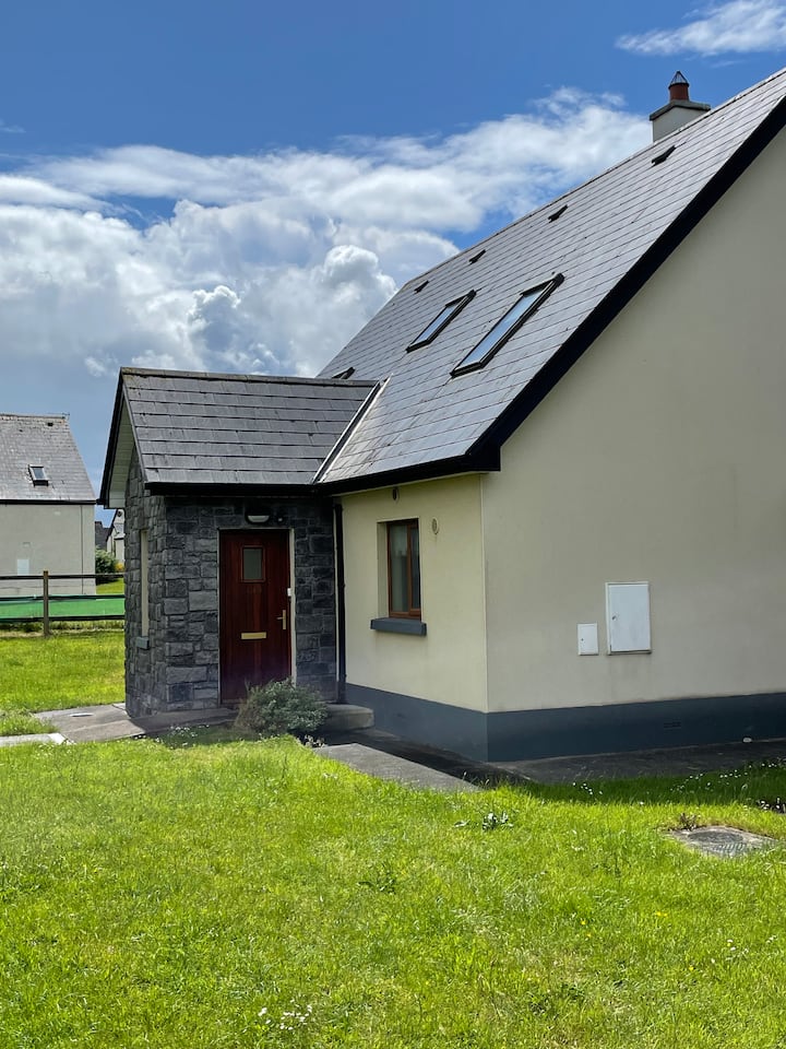 Sweathouse in Cuilsheeghary MoreSweathouse · 167 yd
 Hut site in Carricknahorna EastHut site · 187 yd
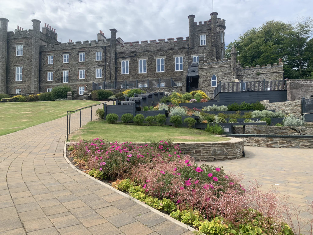 Nunnery (in Ruins)Religious house, unclassified · 1522 yd
 Carricknahorna EastMountain / peak · 1543 yd
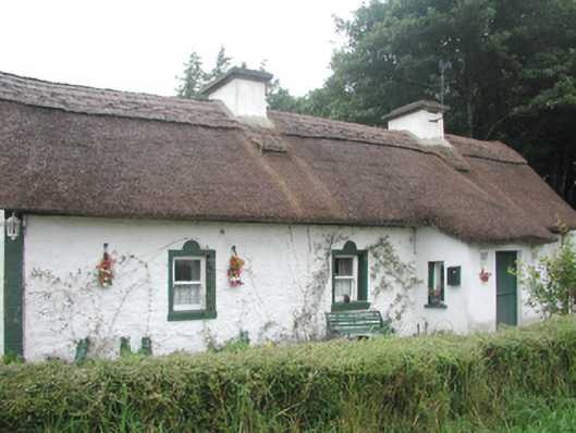 farm housefarm house · 1611 yd
 Ballinafad CastleCastle · 1712 yd
 Bricklieve MountainsMountain / peak · 1.6 mi
 Muck IslandIslet · 1.8 mi
 Treanscrabbagh caveCave · 2.0 mi
 MoatCastle, motte · 2.2 mi
 Loughbrick BayBay · 2.5 mi
 InishmoreIslet · 2.6 mi