What is recorded here
Indicated is a ruined fairy fort in County Mayo, its earthen bank broken and lowered by time and perhaps by the quarry pit still visible at its edge. It sits on a rise above bog and stream valley, ringed with hawthorn, as if set deliberately where the land drops away and sight reaches far. The wide gap in the bank may have been an entrance, a road, or simply the place where the fort surrendered to pasture and rain.
In pasture, located on a rise, with a fall of ground at NNW-NE overlooking a small stream valley and a broad, flat expanse of bog.
Roughly circular, raised area or low platform (26.6m N-S; c. 25.7m E-W) defined SSE−NE by an earthen bank (Wth 2-2.4m; int. H 0.35m; ext. H 0.45-0.65m). The bank retains a very low inner rim, but is largely reduced to a scarp. At E−SE there is a broad break (L c. 14m) where the bank has been levelled.
Outside the bank at SW-N there is a low terrace or berm (Wth 1.4-2m) defined on its outer edge by a scarp (H 1.2m at W), which at SW is topped by a slight internal lip (Wth 2-2.5m; int. H 0.15m). These features may be remnants of a fosse and external bank. They are truncated at N by a small quarry pit (max. dim. 5m). The interior is grass-cover, with a clump of hawthorn at NW; the perimeter is ringed with hawthorn trees.
Compiled by: Jane O’Shaughnessy
Date of upload: 1 December 2020
The monument record does not grant public access. Check the route and ask the landowner before entering private land.
- What survives
- Recorded monument
Places near here
 bridgebridge · 1190 yd
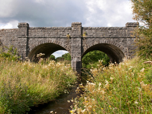 Sonnagh Bridgebridge · 1.1 mi
 IndicatedFairy fort / earthen ringfort · 1.1 mi
 Enclosure in Killeen (costello By., Kilbeagh Par.)Enclosure · 1.5 mi
 Procession Of The SoulsMemorial · 3.2 mi
 Brabazon WoodsForest · 3.3 mi
 Youth Memorial GardenMemorial · 3.6 mi
 HawthornHawthorn · 4.6 mi
 Castle (in Ruins)Castle, unclassified · 5.0 mi
 Hennigan's Heritage CentreHeritage attraction · 5.1 mi
 Thorn CaveCave · 6.1 mi
 Old Cave Burial GroundArchaeological place · 7.7 mi