
Places near here
Photo credits
- National Inventory of Architectural Heritage
- RTG, Wikimedia Commons
- Kmcnamee, Wikimedia Commons · CC BY-SA 4.0
- Silversyrpher (very busy at the moment) from Scotland, UK, Wikimedia Commons · CC BY 2.0
- Doug Kerr from Albany, NY, United States, Wikimedia Commons · CC BY-SA 2.0
- PST Sport (project contractor and publisher); individual photographer not named, pstsport.com
- Andreas F. Borchert, Wikimedia Commons · CC BY-SA 4.0
- Suse, Geograph · CC BY-SA 2.0
- Pampuco, Wikimedia Commons · CC BY-SA 4.0
Explorer Tom This ringfort in Bodorragha is haunted by a bird that refuses to leave no matter how many times it tries to fly away.…
Sweat HouseSweathouse · 765 ydExplorer Tom Sweat House in Bodorragha ended up in the wrong place because a drunk surveyor fell asleep on his compass while drawing…
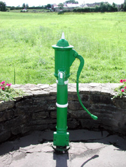 Historic buildingOfficially recorded historic building · 1.8 mi
Explorer Tom This water pump in Keadew East is an attractive piece of street furniture with banding and fluting that adds serious…
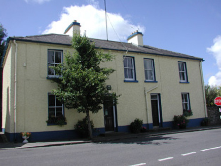 Keadew Garda Síochána StationGarda station/constabulary barracks · 1.8 mi
Explorer Tom Keadew Garda Síochána Station is really proud of its symmetrical facade because it thinks that’s the only thing keeping…
 Arigna Mining ExperienceHeritage attraction · 2.0 mi
Explorer Tom Arigna Mining Experience will cure me of saying a job is cramped when I merely cannot find my keys. The Roscommon mines…
 Shane McGettigan Park, Allen Gaels GAA, DrumshanboGAA ground · 2.5 mi
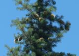 Bristlecone Fir3.7 mi
Explorer Tom Bristlecone Fir in County Roscommon is a weird one to have here since they usually live up in the high desert…
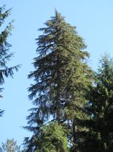 Western Hemlock3.7 mi
Explorer Tom Western Hemlock in County Roscommon holds a long grudge against the weather because it thinks the rain is personally…
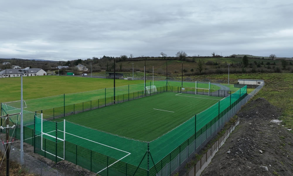 Leitrim Gaels Community FieldGAA ground · 4.1 mi
 Lough AllenLarge freshwater lake · 4.3 mi
Explorer Tom Locals swear if you whistle at Lough Allen, a ghost will row your boat in circles until you apologise properly. It’s…
 Shannon-Erne WaterwayVisitor information · 4.4 mi
Explorer Tom The Shannon-Erne Waterway was the result of a bad bet between two kings who couldn't agree on which river was more…
 Sliabh an IarainnMountain / peak · 5.6 mi
Explorer Tom Sliabh an Iarainn calls itself the iron mountain and has the old workings to back up the name. It rises 585 metres east…
More archaeology and monuments in County Roscommon · All of County Roscommon

What do you know about this place?Tap to add a comment or ask a question