
What is recorded here
Indicated is a fairy fort on a Monaghan drumlin, marked as a fort in 1834 and still visible as a raised grass circle beside the River Blackwater. It has watched the land change from scrub to pasture while keeping its shape, inviting people to wonder whether it waited for humans or simply tolerated them.
Located on top of a drumlin, with a NNE-SSW section of the River Blackwater c. 100m to the W. A circular embanked enclosure (ext. diam. c. 35m) is depicted on the 1834 edition of the OS 6-inch map where it is described in gothic lettering as a ‘fort’, and it is depicted as a small scrub-covered field on the 1907 edition. It was described as a small overgrown area defined by a field bank in 1967, and it is still visible as a slightly raised circular grass-covered area (diam. c. 30m) in improved pasture (OSAP 2005).
The above description is derived from the published 'Archaeological Inventory of County Monaghan' (Dublin: Stationery Office, 1986). In certain instances the entries have been revised and updated in the light of recent research.
Date of revision: 13 December 2017
The monument record does not grant public access. Check the route and ask the landowner before entering private land.
- What survives
- Recorded monument
Places near here
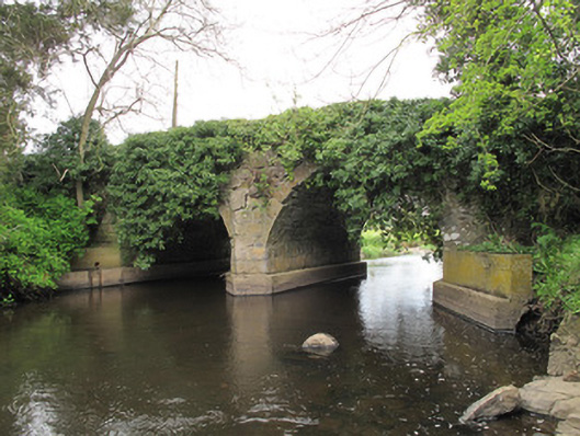 Faulkland Bridge (Upper)bridge · 255 yd
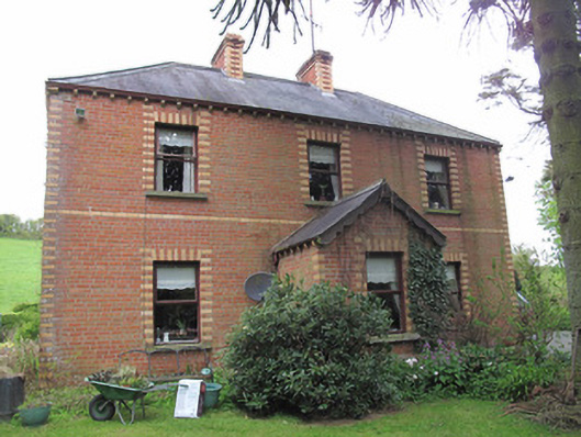 Riversdale Househouse · 297 yd
 DoonduffFairy fort / earthen ringfort · 1647 yd
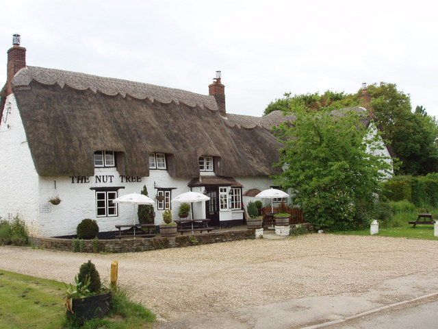 The Nut WoodForest · 1725 yd
 Liscarney WoodWood · 1.1 mi
 LiscarnFairy fort / earthen ringfort · 1.1 mi
 Monaghan County MuseumMuseum · 2.2 mi
 Rossmore MonumentMemorial · 2.5 mi
 Bawn in Roosky (monaghan By., Monaghan Par.)Bawn · 2.5 mi
 Castleshane WaterfallWaterfall · 4.0 mi
 Banba GiantHeritage attraction · 4.0 mi
 Battle of ClontibretBattlefield · 6.2 mi
Other information
Photo: Credit not shown in the picture search · Rights wording not checked; contact us if this picture should be removed