What is recorded here
Indicated is a ghost of a ringfort, reduced to a twenty-five-metre curve in a field bank on a Monaghan spur. It appears on maps from 1859 and 1907, yet resists every claim of antiquity. The land itself seems to have forgotten the wall, keeping only the shape of its absence.
Located on a rise at the tip of a SW-NE spur. A curve of a field bank on maps of Douglas Estates (1859) and the 1907 edition of the OS 6-inch map suggest the location of what might have been a rath. The curve in the field bank (Chord c. 25m NE-SW) survives but there is no indication of an antiquity.
The above description is derived from the published 'Archaeological Inventory of County Monaghan' (Dublin: Stationery Office, 1986). In certain instances the entries have been revised and updated in the light of recent research.
Compiled by: Michael Moore
Date of revision: 22 February 2018
The monument record does not grant public access. Check the route and ask the landowner before entering private land.
- What survives
- Recorded monument
Places near here
 Dagda's CauldronHeritage attraction · 702 yd
 Giant Redwood (1862)Heritage attraction · 831 yd
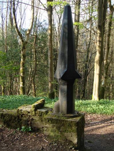 Rossmore Castlegasworks · 1081 yd
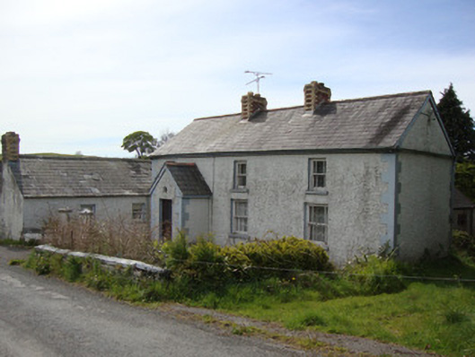 Brookside Cottagehouse · 1538 yd
 Court tomb in KillydrutanCourt tomb · 1.1 mi
 The McMahon StoneArchaeological place · 1.1 mi
 Hazel WoodWood · 1.2 mi
 Mullaghmatt ForestWood · 1.6 mi
 Bawn in Roosky (monaghan By., Monaghan Par.)Bawn · 2.6 mi
 Rough HillMountain / peak · 2.6 mi
 Rossmore MonumentMemorial · 2.6 mi
 Lisarrilly HillMountain / peak · 4.6 mi
Other information
Photo: Credit not shown in the picture search · Rights wording not checked; contact us if this picture should be removed