What is recorded here
On a level pasture terrace at the NW foot of a steep limestone ridge, only c. 30m from the seashore to the W. Located at the SW-end of a series of relatively modern, improved pasture, roughly rectangular ladder-fields, which it may pre-date? Not recorded on the first edition of the OS 6-inch map but indicated on the later, Cassini edition (1915).
An almost circular area (int. diams. 29m N-S; 28.8m WNW-ESE) is defined by a loosely constructed, single dry- stone wall (H c. 0.8-1m; T 0.3-0.6m; max. T c. 1m SSE-S). An entrance gap (Wth 3m) and associated scarp is visible at NNE. The enclosure is abutted by later field walls at N, SSE, SSW, WSW and WNW.
See attached CL004-023----_1: overall view from higher slopes to SSW.
Compiled by: Gearóid Conroy and Lynda McCormack
Date of upload: 30 September 2022
The monument record does not grant public access. Check the route and ask the landowner before entering private land.
- What survives
- Recorded monument
Places near here
 Enclosure in BallynahownEnclosure · 1011 yd
 OughtdarraCliff · 1015 yd
 AilladieCliff · 1214 yd
 Crumlin Church (in Ruins)Church · 1224 yd
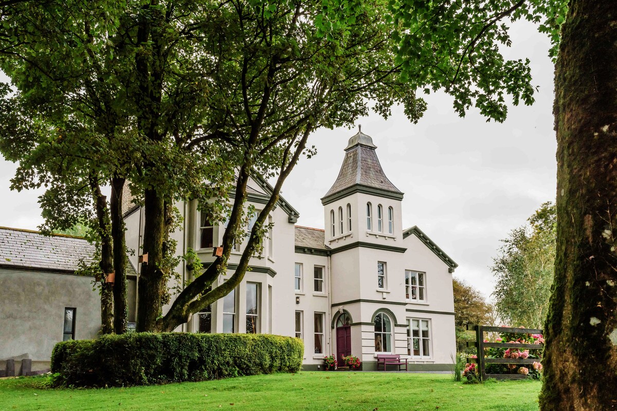 Enclosure in Ballynahown,crumlinEnclosure · 1344 yd
 The BurrenHeritage attraction · 1.3 mi
 ( Poulomega ? )Cave · 1.4 mi
 PollnagreeCave · 1.5 mi
 Ballinalacken CastleCastle · 2.2 mi
 Doolin Cave Visitor CentreHeritage attraction · 2.5 mi
 Balliny CaherRuins · 2.7 mi
 Faunarooska Castle (in ruins)Castle, tower house · 2.9 mi
Other information
Photo: Credit not shown in the picture search · Rights wording not checked; contact us if this picture should be removed