
What is recorded here
On high (above 500’ contour) level, rough grazing overlooking lower, terraced slopes to W and within an extensive field system (CL004-027001-). Visible on aerial imagery and recorded on current OS mapping. A roughly oval-shaped area (est. diams. c. 48m N-S; c. 40m E-W) is defined by a stone wall. Abutting the inner face of the wall at NW are two small structures which may be hut or house sites. Field walls, some possibly later, radiate off the enclosure at NE, E, SE, SW and NW.
Compiled by: Gearóid Conroy
Date of upload: 10 October 2022
The monument record does not grant public access. Check the route and ask the landowner before entering private land.
- What survives
- Recorded monument
Places near here
 IndicatedEnclosure · 390 yd
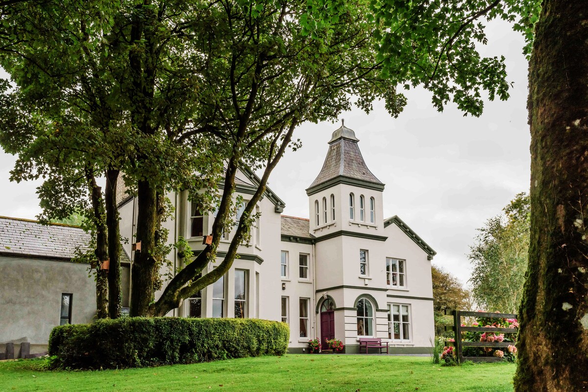 Enclosure in Ballynahown,crumlinEnclosure · 601 yd
 OughtdarraCliff · 654 yd
 Crumlin Church (in Ruins)Church · 1229 yd
 ( Poulomega ? )Cave · 1473 yd
 AilladieCliff · 1585 yd
 PollnagreeCave · 1.1 mi
 The BurrenHeritage attraction · 1.3 mi
 Ballinalacken CastleCastle · 1.7 mi
 Doolin Cave Visitor CentreHeritage attraction · 2.1 mi
 Balliny CaherRuins · 2.7 mi
 Faunarooska Castle (in ruins)Castle, tower house · 2.7 mi
Other information
Photo: Credit not shown in the picture search · Rights wording not checked; contact us if this picture should be removed