
What is recorded here
Indicated is a circular fairy fort hidden beneath blackthorn and sycamore on a natural rise in County Mayo. Its earthen bank still stands one metre thirty high in places, though modern digging and a field wall have cut through parts of the rim. A square structure abuts the western edge, suggesting the site supported more than a single dwelling or that someone rebuilt the fort after forgetting its original shape. The thicket refuses easy entry, preserving the kind of boundary that separates human farmland from the uncertain life of the fort itself.
In thicket of trees and overgrowth, located on a natural rise in an area of gently undulating, terrain. There is a farmstead immediately to S−SW.
Raised circular area (c. 23.5m N–S) defined by remnants of an earthen bank. The bank (Wth 3.5-4m; int. H 0.6m; ext. H 1.3m) survives NW–NE and at SE–SW, but it is truncated at E by a field wall, and at SW-NW it has been partly dug away as a result of modern disturbance. At WSW the rath is abutted by remnants of a later, roughly square structure (max. dim. c. 6m), defined by a raised rim (Wth 1.5-2m; H 0.5m).
The rath interior was difficult to examine due to dense blackthorn and brambles. There appears to be a slightly raised area (max. dim. c. 10m) off-centre to NW, from which the ground slopes gently to N and W. Sycamore, ash and blackthorn ring the perimeter.
Compiled by: Jane O’Shaughnessy
Date of upload: 2 May 2019
The monument record does not grant public access. Check the route and ask the landowner before entering private land.
- What survives
- Recorded monument
Places near here
 Site of ChurchChurch · 320 yd
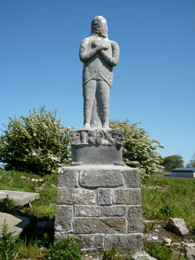 Grave monumentGrave monument · 331 yd
 Cross FortFairy fort / earthen ringfort · 606 yd
 bridgebridge · 721 yd
 Battlefields of MoyneBattlefield · 1105 yd
 Bawn in Meelick (tirawley By.)Bawn · 1203 yd
 Moyne AbbeyHeritage attraction · 1583 yd
 CastleCastle, unclassified · 1.3 mi
 Green IslandIslet · 1.4 mi
 Battle of Killalabattle · 1.4 mi
 Barnasock PointHeadland · 1.5 mi
 Bartragh IslandIsland · 1.5 mi
Other information
Photo: Credit not shown in the picture search · Rights wording not checked; contact us if this picture should be removed