
What is recorded here
Indicated is a phantom ringfort in County Mayo, Ireland, mapped in 1838 as a thirty-metre circular enclosure but now absent from the surface. Local tradition still names it a fairy fort, suggesting the boundary dissolved rather than the memory fading. The land may have swallowed the stone while the imagination kept the circle intact.
Shown on OS map (1838) as circular enclosure (diam. c. 30m). No visible surface traces. Local tradition of ringfort.
The above description has been derived from D. Lavelle (compiler), An Archaeological Survey of Ballinrobe and District including Lough Mask and Lough Carra. Lough Mask and Lough Carra Tourist Development Association (1994), No. 351.
Date of upload: 12 January 2015
The monument record does not grant public access. Check the route and ask the landowner before entering private land.
- What survives
- Recorded monument
Places near here
 Fairy fort / earthen ringfort in Houndswood MiddleFairy fort / earthen ringfort · 1058 yd
 Enclosure in Cross EastEnclosure · 1335 yd
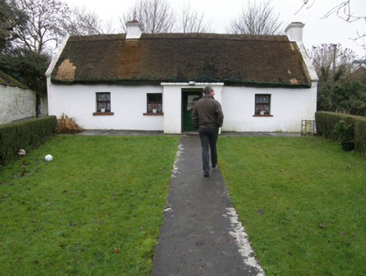 farm housefarm house · 1486 yd
 Catholic Church of the Assumptionchurch/chapel · 1694 yd
 CastleCastle, tower house · 1738 yd
 Bawn in Kilkeeran (kilmaine By., Kilmainebeg Par.)Bawn · 1748 yd
 Gibbs IslandsIslet · 2.7 mi
 Matthew IslandIslet · 3.5 mi
 Cregg PlantationForest · 3.7 mi
 Pesooge PlantationForest · 4.3 mi
 Cong AbbeyHeritage attraction · 4.6 mi
 Quiet Man MuseumMuseum · 4.7 mi
Other information
Photo: Credit not shown in the picture search · Rights wording not checked; contact us if this picture should be removed