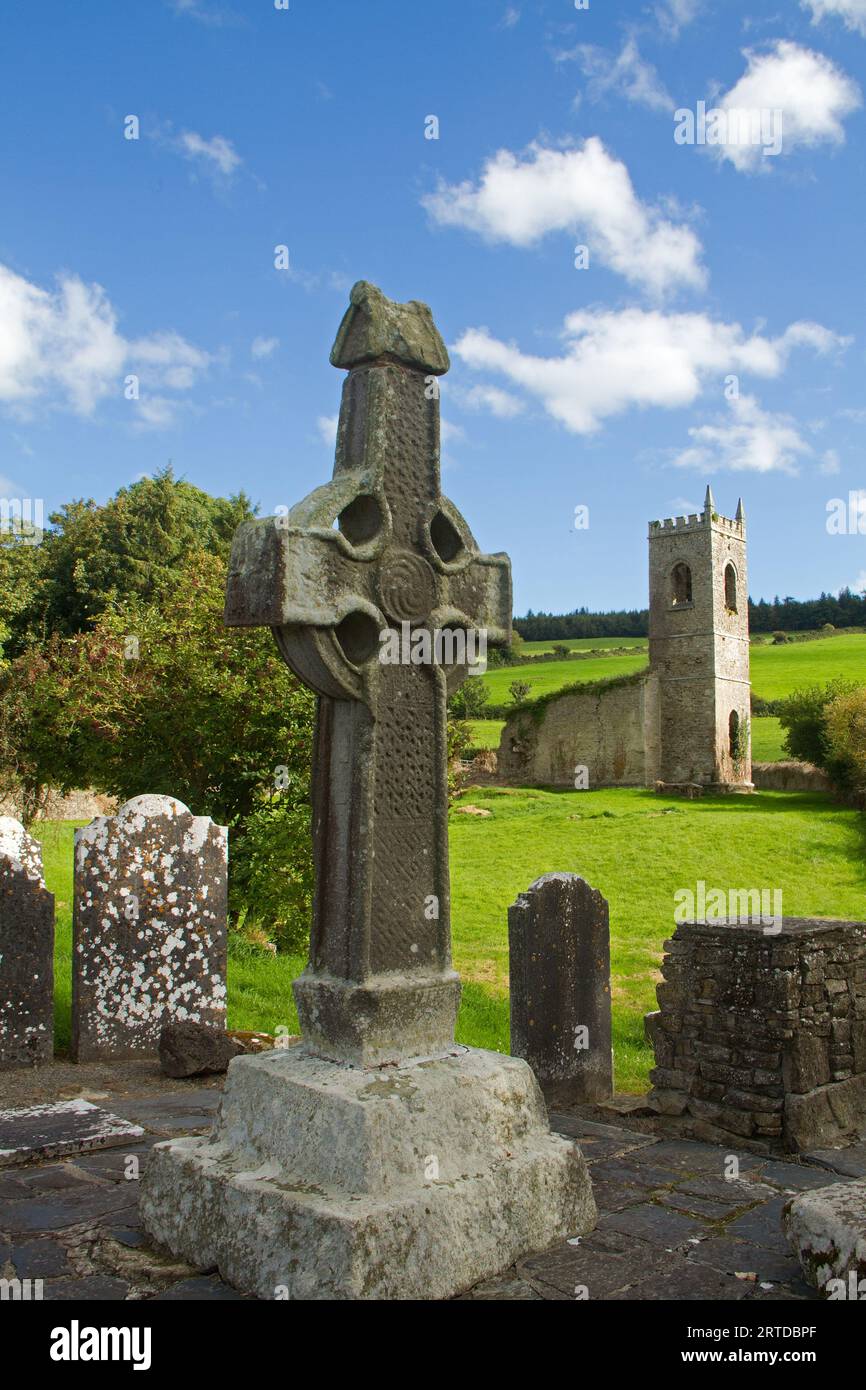
What is recorded here
In hillocky, undulating terrain at the E end of an E-W ridge with wet land immediately to the N, in pasture. An oval area (diam. 32.5m N-S; 34.7m E-W) enclosed by an earthen bank (int. H 0.65-0.84m; ext. H 0.8-1.15m; Wth at crest 2.7m; overall Wth 9.9-11.1m). Interior uneven and disturbed with a lot of wood dumped in the S quadrant. The N sector of the monument has been quarried into (dims. c. 15m x 20m) in the past. It appears that some clay material was dumped on the bank in the E quadrant at some stage and pushed into the interior. Trees, including ash, hawthorn, blackthorn and holly are growing around the edge of the quarry and around the bank of the monument.
Compiled by: Jean Farrelly
Date of revised upload: 15 November 2016
The monument record does not grant public access. Check the route and ask the landowner before entering private land.
- What survives
- Recorded monument
Places near here
 Church in Coan WestChurch · 1.1 mi
 Burn's Bridgebridge · 1.2 mi
 Church (Site of) Graveyard St. LongorysChurch · 1.7 mi
 Grave YardGraveyard · 1.7 mi
 Kilgorey Old BurialVisitor information · 1.9 mi
 Glenmullen WoodWood · 2.2 mi
 Uskerty WoodForest · 2.5 mi
 Gallows HillMountain / peak · 3.3 mi
 Footprints In CoalMuseum · 3.6 mi
 Estate YardMemorial · 3.6 mi
 The GarrisonCastle, motte · 3.6 mi
 Castlecomer Discovery ParkHeritage attraction · 3.7 mi
Other information
Photo: Credit not shown in the picture search · Rights wording not checked; contact us if this picture should be removed