What is recorded here
On a terrace on a N-facing slope c. 40m NNW of a stone pair (GA022-030003-). Poorly preserved circular enclosure (D 24m) defined by a low but wide (Wth 2.8m) revetted drystone wall. There is a well-defined entrance at E. A series of pre-bog field walls lie to S and W (GA020-030001-). Though cashel-like in appearance, this monument may be of prehistoric date.
The above description is derived from the published 'Archaeological Inventory of County Galway Vol. I - West Galway'. Compiled by Paul Gosling (Dublin: Stationery Office, 1993).
Edited by: Olive Alcock
Date of revised upload: 27 January 2023
A local fairy fort (ringfort/rath); wider significance not recorded.
The monument record does not grant public access. Check the route and ask the landowner before entering private land.
- What survives
- Recorded monument
Places near here
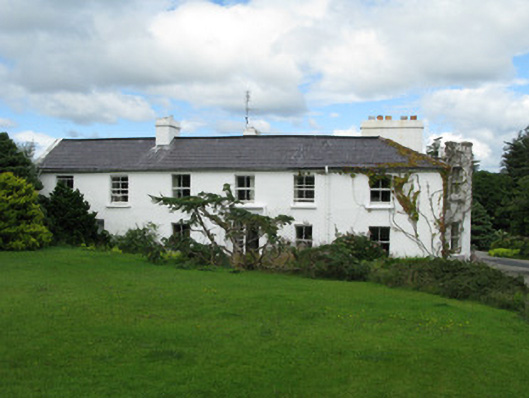 Crocknaraw Househouse · 773 yd
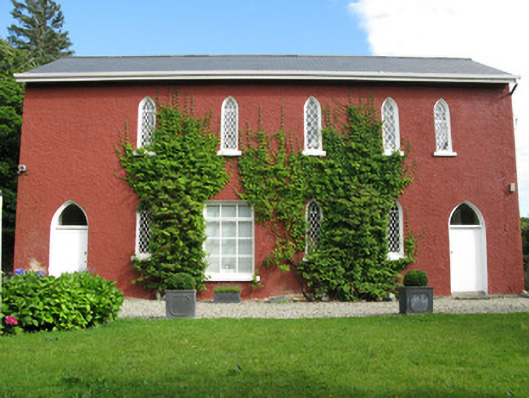 The Old School Houseschool · 954 yd
 ToberdavinHoly well · 1724 yd
 Enclosure in Tooreen (ballynahinch By., Ballynakill Par.)Enclosure · 1.3 mi
 DerrylahanMountain / peak · 1.8 mi
 RoeillaunIslet · 2.1 mi
 Boolard IslandIslet · 2.9 mi
 Freaghillaun SouthMountain / peak · 2.9 mi
 Connemara National Park Visitor CentreHeritage attraction · 3.0 mi
 Connemara National ParkNational park · 3.0 mi
 Bawn in Doon (ballynahinch By.)Bawn · 3.4 mi
 Abbeyglen Castle HotelCastle · 3.5 mi