What is recorded here
Less than a mile E of Clonmel, immediately S of the River Suir, in an area formerly in Co. Waterford. Lyons (1942, 72-3) speculates that the weir in the Suir, N of Millbrook House, was 'a Franciscan salmon-weir, amplified by an extension westward in late times by the Dudley family who built the contiguous corn-mill-finished in 1782'. The associated mill complex, Suir Mill, dates from the 18th-century. The weir extended from the Suirville mill complex westward, crossing the river obliquely for c. 260m. The weir (Wth at top c. 1-1.25m) is constructed of limestone walling with rubble infill (Withers 2006, 13). The eastern portion of the weir included an exit sluice with a brick arch (ibid., 10). Several gaps (Wth from 5m to 20m) in the weir had been artificially broken through by fishermen during the course of the 20th century to facilitate access into quieter fishing waters (ibid. 11). In these cases only the upper courses of the weir, to just below the water level, were tumbled to allow through passage (ibid.). It is likely that the weir dates to the late 18th century and was constructed in tandem with Suirville mill. There is insufficient evidence to substantiate Lyon’s claim that the weir has an earlier function as a fish weir.
Compiled by: Jean Farrelly
Date of revised upload: 20 January 2015
The monument record does not grant public access. Check the route and ask the landowner before entering private land.
- What survives
- Recorded monument
Places near here
 MillMill, unclassified · 279 yd
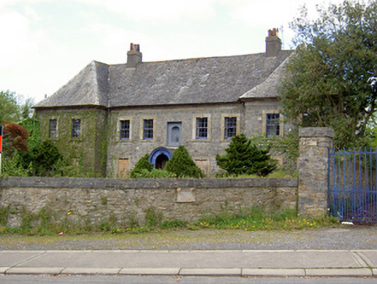 Silversprings Housecharter school · 399 yd
 Monkey-puzzleMonkey-puzzle · 584 yd
 Cork oakCork oak · 588 yd
 Enclosure in Burgagery-Lands EastEnclosure · 637 yd
 Kilgainy Castle (in ruins)Castle, tower house · 904 yd
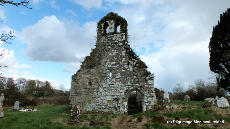 Ritual siteRitual site, holy tree/bush · 1200 yd
 RetrospectMemorial · 1235 yd
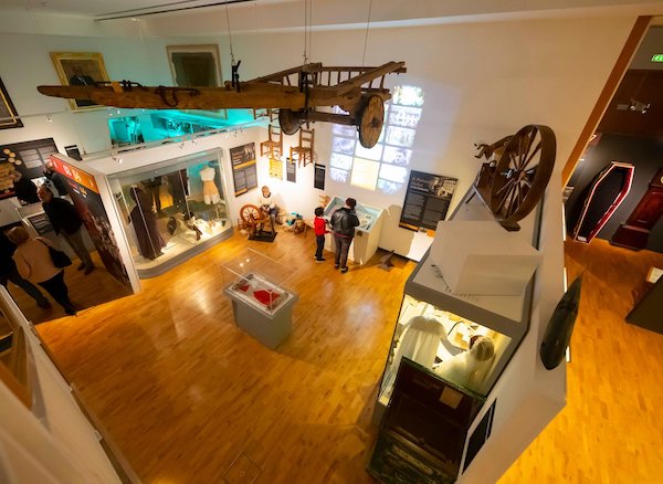 Tipperary Museum of Hidden HistoryMuseum · 1451 yd
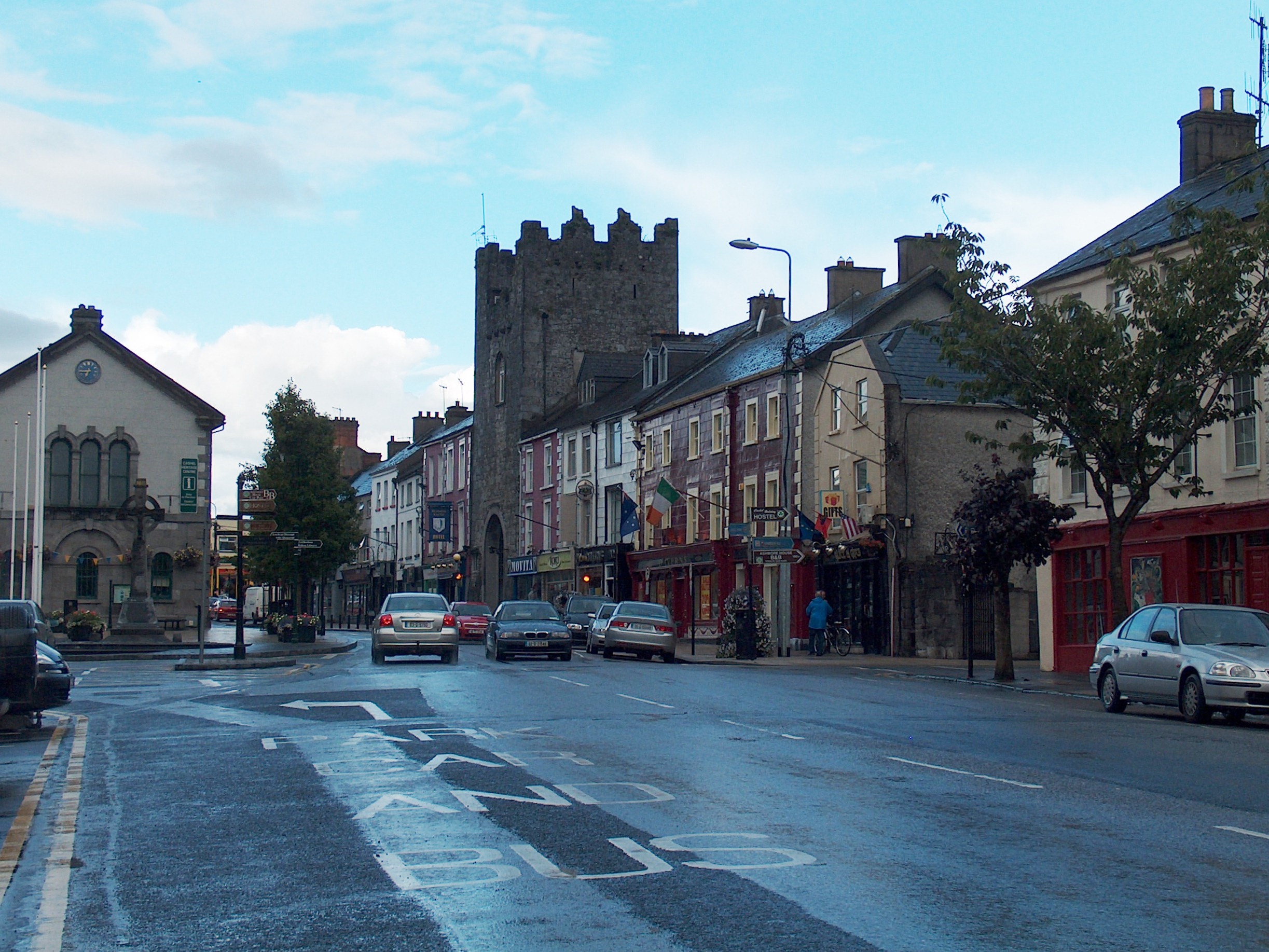 Mick Delahunty SquareMemorial · 1465 yd
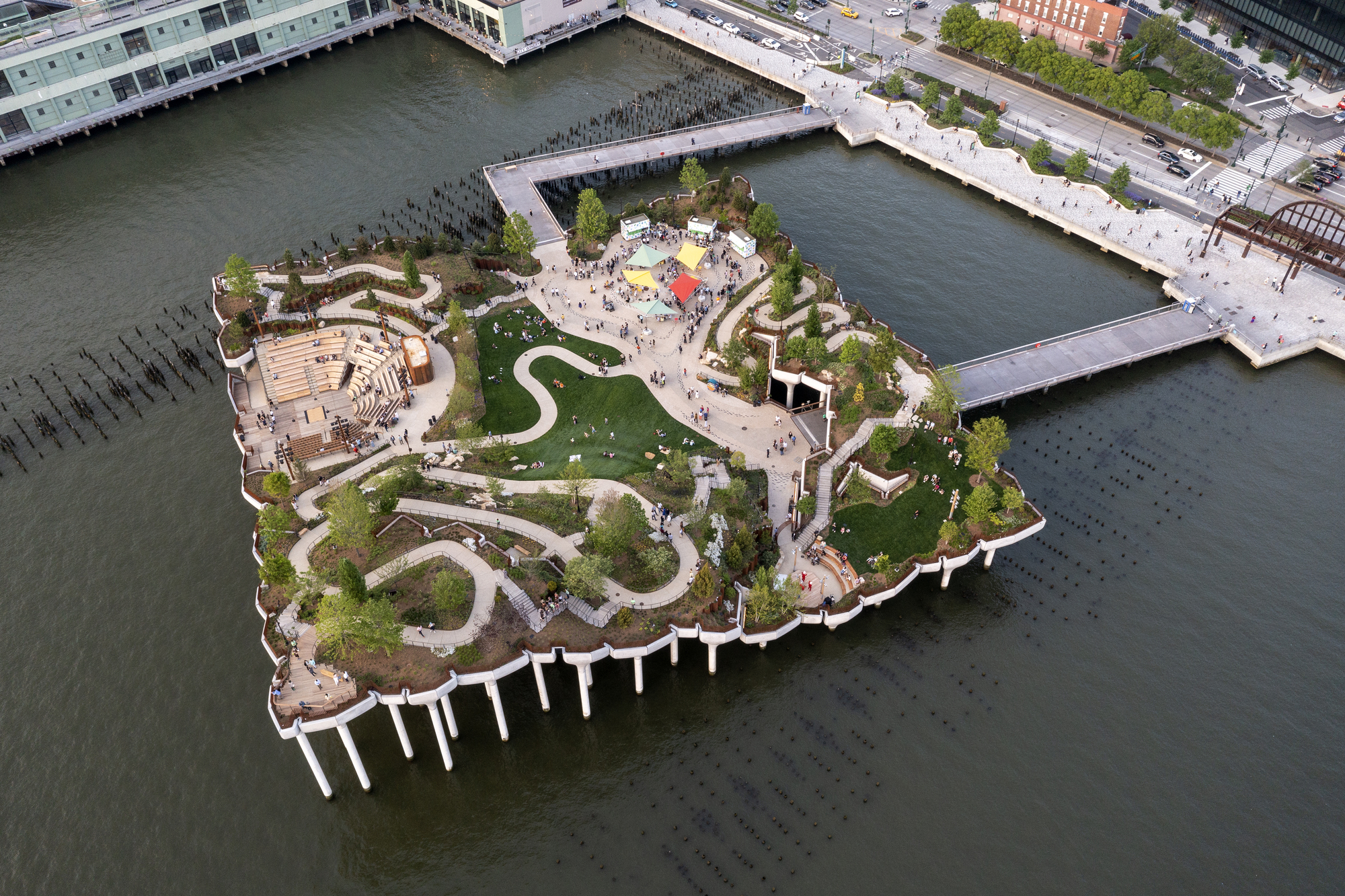 Little IslandIslet · 1661 yd
 Main GuardHeritage attraction · 1679 yd