What is recorded here
On a hillock in grassland. Classified by McCaffrey (1952, 155, no. 79) as a circular ‘Stone fort’ (diam. c. 64.7m) defined by a drystone wall. Only slight traces of the original wall are visible at N and SE, otherwise a later field wall forms the enclosing element. Another field wall cuts across the monument at N and S, and the W half has been quarried for sand (SMR file). A Man-made underground passage (GA096-072001-) lies in the NW quadrant.
Compiled by: Galway Archaeological Survey, UCG
Date of upload: 4 December 2017
The monument record does not grant public access. Check the route and ask the landowner before entering private land.
- What survives
- Recorded monument
Places near here
 CrossCross · 705 yd
 Site of Shanbally CastleCastle, unclassified · 1034 yd
 IndicatedFairy fort / stone ringfort · 1383 yd
 Chapel in Carrigeen EastChapel · 1592 yd
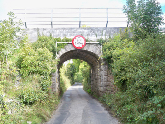 Grenage Bridgebridge · 1652 yd
 Roo Castle (in ruins)Castle, tower house · 1.6 mi
 Moyard WoodWood · 3.0 mi
 Kilcornan ForestWood · 4.2 mi
 Athenry AbbeyHeritage attraction · 4.7 mi
 Athenry CastleHeritage attraction · 4.8 mi
 Mweenish PointHeadland · 8.9 mi
 Leadmine HillMountain / peak · 9.3 mi