
What is recorded here
In the centre of a possible enclosure (GA104-092006-). Described by McCaffrey (1952, 222, no. 6) as a rectangular ‘chapel’ of 22' x 12' [6.7m x 3.6m] overall'. The walls were ‘3’ [0.9m] wide of two faces of blocks set on edge’ covered by ‘rock debris’. In the interior there was a low rectangular ‘altar’ against the E wall. According to local information it was built after the 'demolition of the chapel'. To the W of the building were 'headstones' (see GA104-092003-). The site was impenetrably overgrown at the time of the site visit and it was impossible to make any of these features out.
Compiled by: Compiled by: Galway Archaeological Survey, UCG
Date of upload: 29 January 2020
The monument record does not grant public access. Check the route and ask the landowner before entering private land.
- What survives
- Recorded monument
Places near here
 CahermoreFairy fort / stone ringfort · 483 yd
 CahershanbackyFairy fort / stone ringfort · 626 yd
 Site of Shanbally CastleCastle, unclassified · 1189 yd
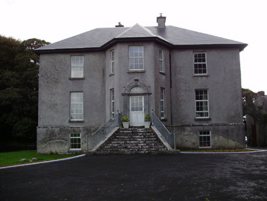 Aggard Housecountry house · 1220 yd
 IndicatedQuarry · 1661 yd
 Roo Castle (in ruins)Castle, tower house · 1.6 mi
 Kilcornan WoodWood · 3.7 mi
 Moyard WoodWood · 3.8 mi
 Mweenish PointHeadland · 8.5 mi
 Mulroney's IslandIslet · 8.7 mi
 CrossCross · 1453 yd
 LisroeFairy fort / earthen ringfort · 1669 yd
Other information
Photo: Credit not shown in the picture search · Rights wording not checked; contact us if this picture should be removed