What is recorded here
Indicated was a circular embankment thirty metres across, rising above Mayo pasture until ploughs erased most of its shape. The southern arc still breaks the soil as a faint scar, remembering the fort while the rest dissolved into grass. A cashel stands seventy metres east, watching the ghost of its neighbour.
In pasture, located on a rise. This possible rath is shown on 1838 and 1929 OS 6-inch maps as a roughly circular embanked enclosure (diam. c. 30m). It has been levelled. The S arc can still be traced as a slight, levelled scarp. There is a cashel (MA050-002001-) 70m to E.
Compiled by: Jane O’Shaughnessy
Date of upload: 12 June 2020
The monument record does not grant public access. Check the route and ask the landowner before entering private land.
- What survives
- Recorded monument
Places near here
 Killasser Church (in ruins)Church · 654 yd
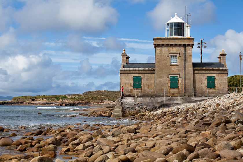 Enclosure in KnockmullinEnclosure · 1012 yd
 Killasser chapelChurch · 1.7 mi
 Castle (in Ruins)Castle, tower house · 1.9 mi
 HawthornHawthorn · 2.5 mi
 Hennigan's Heritage CentreHeritage attraction · 2.6 mi
 Procession Of The SoulsMemorial · 4.4 mi
 Youth Memorial GardenMemorial · 4.4 mi
 Brabazon WoodsForest · 4.7 mi
 KnockasliggaunMountain / peak · 5.3 mi
 Castle Carragh in RuinsCastle, unclassified · 5.8 mi