What is recorded here
Situated on high ground with good views in undulating countryside. No surface trace visible of this levelled enclosure (approx. diam 30m) except for a portion of the SE bank which is now utilised as part of a field boundary. Aerial photographs (GSI, N 526/7) shows the enclosure when it was fully intact.
From the National Monuments Service (Archaeological Survey of Ireland) record OF014-021
Places near here
Photo credits
- National Inventory of Architectural Heritage
- ., Wikimedia Commons · CC BY-SA 4.0
- dougf, Wikimedia Commons · CC BY-SA 2.0
- Bob Embleton, Wikimedia Commons · CC BY-SA 2.0
- Eric Jones, Geograph · CC BY-SA 2.0
- Willow, Wikimedia Commons · CC BY 2.5
- A.-K. D., Wikimedia Commons · CC BY-SA 4.0
 Endrim HillMountain / peak · 1725 ydBallylin Bog BoardwalkHeritage attraction · 1.4 mi
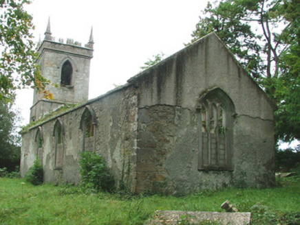 Ferbane Church (Wheery or Killagally)Church/chapel · 1.7 mi
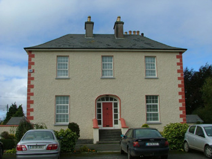 Catholic Church of the Immaculate ConceptionPresbytery/parochial/curate's house · 1.7 miSaint Reaghan's WellSpring · 2.3 mi
 Coole CastleCastle · 3.4 mi
 Esker CastleCastle, tower house · 3.7 mi
 Rock art in ClonfinloughRock art · 3.7 mi
 Cloghan HillMountain / peak · 4.6 miSt. Saran's WellSpring · 4.7 mi
 European ash4.8 mi
 St. Managhans WellHoly well · 5.0 mi
More archaeology and monuments in County Offaly · All of County Offaly
What do you know about this place?Tap to add a comment or ask a question