What is recorded here
Just off the crest of the N-facing slope of a rise that forms the SE summit of a broad NW-SE ridge. Circular grass-covered platform (diam. 19.3m N-S; H 0.2-0.3m) defined by a flat-bottomed fosse (at N: Wth of top 10.8m; Wth of base 4.8m; at S: Wth of top 15.6m; Wth of base 9.3m) and an outer flat-topped and grass-covered earthen bank (Wth of base 3.5-5.5m; Wth of top 1.2m; int. H 1-1.2m; ext. H 0.35m at N to 0.95m at S). There is an entrance (Wth 3.5m) in the bank at NE (max. ext. diam. 49.6m N-S). Ring-barrow (RO034-066002-) is c. 25m to the WSW and enclosure (RO034-067001-) is c. 75m to the ESE. (Knox 1918a, 161)
See the attached aerial view taken from the SSE.
Compiled by: Michael Moore
Date of upload: 24 August 2010
Neolithic passage tomb, dating to the 4th–3rd millennium BCE. Its construction reflects early communal burial practices and ritual significance in the prehistoric landscape.
The monument record does not grant public access. Check the route and ask the landowner before entering private land.
- What survives
- Recorded monument
Places near here
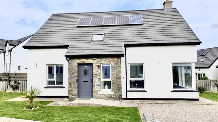 Enclosure in Creeve (ballymoe By.)Enclosure · 178 yd
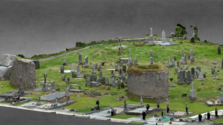 Enclosure in CarroweighterEnclosure · 699 yd
 HawthornHawthorn · 791 yd
 Old KilnKiln · 1047 yd
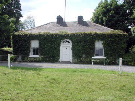 Ballydooley Lodgegate lodge · 1498 yd
_-_geograph.org.uk_-_1952978.jpg?width=1280) Bawn in Glinsk (ballymoe By.)Bawn · 4.3 mi
Bawn in Glinsk (ballymoe By.)Bawn · 4.3 mi CastleCastle, Anglo-Norman masonry castle · 4.3 mi
 European ashEuropean ash · 4.8 mi
 Site of Killomaine Grave YardArchaeological place · 4.8 mi
 Roscommon CastleCastle · 6.7 mi
 Sally IslandIslet · 7.5 mi
 Mount MaryMountain / peak · 7.9 mi