What is recorded here
In rough undulating pasture, on SE-facing slope, 340m W [recte 290m NW] of ringfort (MA121-055----). Circular area (37m N-S; 36.5m E-W), enclosed by low stone wall (Wth 1.8m; H 1m), levelled on NE. Interior displays some rock outcrop.
The above description has been derived from D. Lavelle (compiler), An Archaeological Survey of Ballinrobe and District including Lough Mask and Lough Carra. Lough Mask and Lough Carra Tourist Development Association (1994), No. 275.
Date of upload: 23 December 2014
The monument record does not grant public access. Check the route and ask the landowner before entering private land.
- What survives
- Recorded monument
Places near here
 Enclosure in CashlancranEnclosure · 939 yd
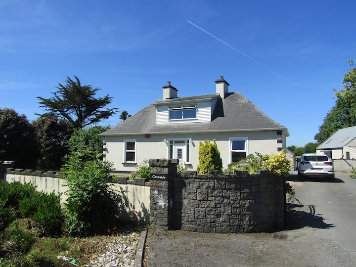 Enclosure in Cahernagry WestEnclosure · 993 yd
 Bawn in Kilkeeran (kilmaine By., Kilmainebeg Par.)Bawn · 1752 yd
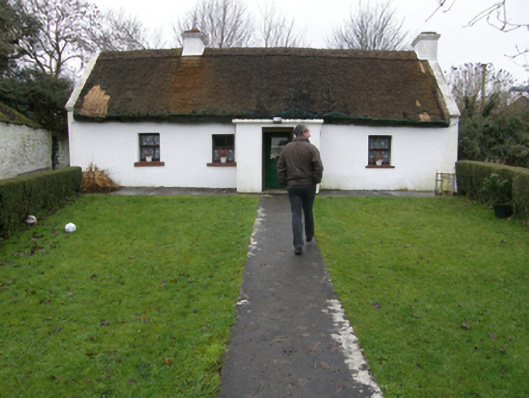 farm housefarm house · 1.1 mi
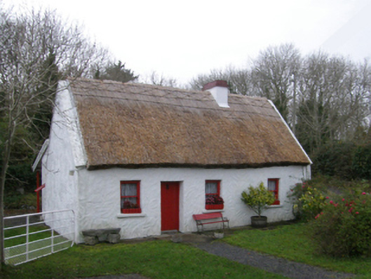 The Neale Cottagehouse · 1.2 mi
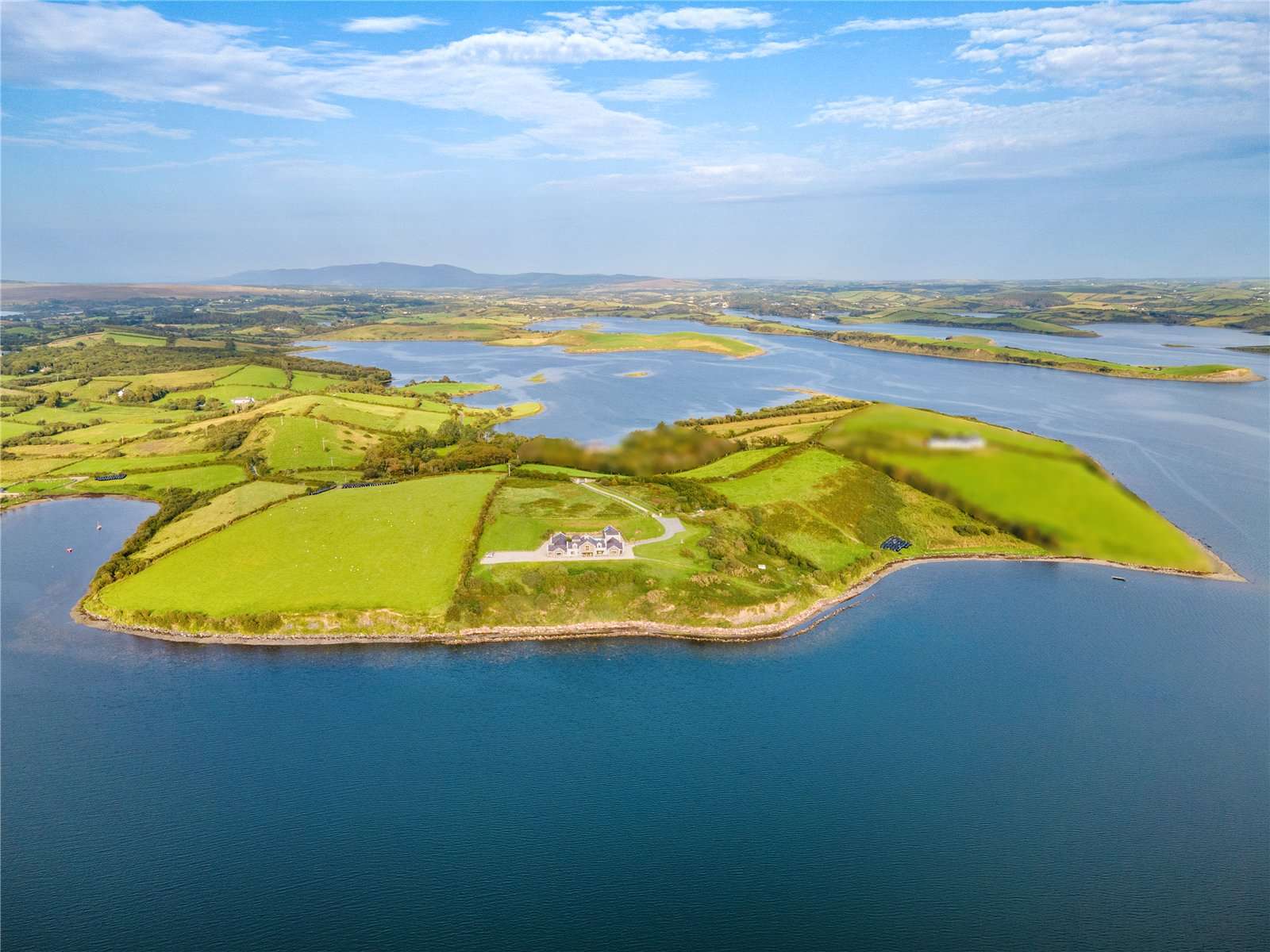 CastleCastle, tower house · 2.0 mi
 Gibbs IslandsIslet · 3.8 mi
 European ashEuropean ash · 3.9 mi
 LabbadermotCave · 4.1 mi
 Easter IslandIslet · 4.1 mi
 Cregg PlantationForest · 4.5 mi
 Cong AbbeyHeritage attraction · 4.8 mi