What is recorded here
Indicated is a ruined circular enclosure in County Mayo, Ireland, still marking the boundary around a buried church and graveyard. The cashel wall once rose eighteen decimetres thick before field fences and ploughs softened its edge. It is the kind of place where prayer, death and daily pasture shared one small circle of ground.
In pasture with gentle slope to S. Remains of roughly circular enclosure (diam. c. 120m) as shown on OS map (1838) now levelled E to N. Cashel wall (Wth 1.8m) overlain by stone field fence. Encloses church (MA118-094001-) and graveyard (MA118-094002-).
The above description has been derived from D. Lavelle (compiler), An Archaeological Survey of Ballinrobe and District including Lough Mask and Lough Carra. Lough Mask and Lough Carra Tourist Development Association (1994), No. 587.
Date of upload: 20 December 2013
The monument record does not grant public access. Check the route and ask the landowner before entering private land.
- What survives
- Recorded monument
Places near here
 Church in ruinsChurch · 23 yd
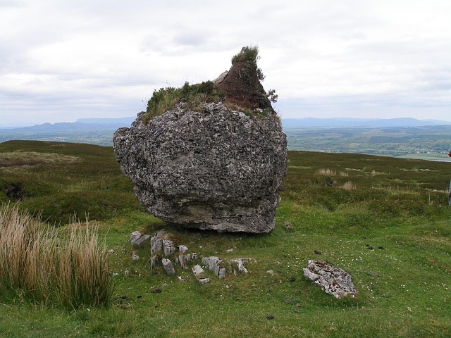 IndicatedFairy fort / earthen ringfort · 692 yd
 Enclosure in Creevagh North (kilmaine By., Kilmolara Par.)Enclosure · 1070 yd
 Castle in ruinsCastle, tower house · 1639 yd
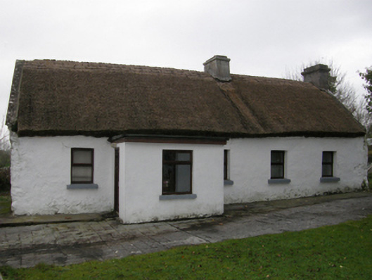 farm housefarm house · 1.4 mi
 Bawn in Kilkeeran (kilmaine By., Kilmainebeg Par.)Bawn · 2.5 mi
 European ashEuropean ash · 2.6 mi
 LabbadermotCave · 3.2 mi
 SycamoreSycamore · 4.1 mi
 Long IslandIslet · 4.8 mi
 Shrub IslandIslet · 4.9 mi
 Cong AbbeyHeritage attraction · 5.5 mi