What is recorded here
In flat low-lying wet pastureland to S of a stream. A level rectangular area (N-S 48.5m, E-W 34.5m), in fair condition, enclosed by an earthen bank and shallow external fosse. Traces of an outer bank survive at NW, NNE, and along E side. There is a small bastion-like feature in NW corner. Trace of a possible leat run from NW corner to the adjacent stream.
The above description is derived from the published 'Archaeological Inventory of County Galway Vol. II - North Galway'. Compiled by Olive Alcock, Kathy de hÓra and Paul Gosling (Dublin: Stationery Office, 1999).
Date of upload: 05 August 2010
The monument record does not grant public access. Check the route and ask the landowner before entering private land.
- What survives
- Recorded monument
Places near here
 CrossmalooCross, Wayside cross · 1195 yd
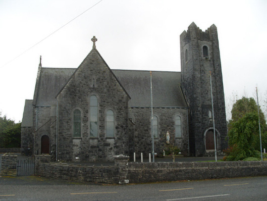 Saint Michael's Catholic Churchchurch/chapel · 1.2 mi
 Cross KerrillCross · 1.2 mi
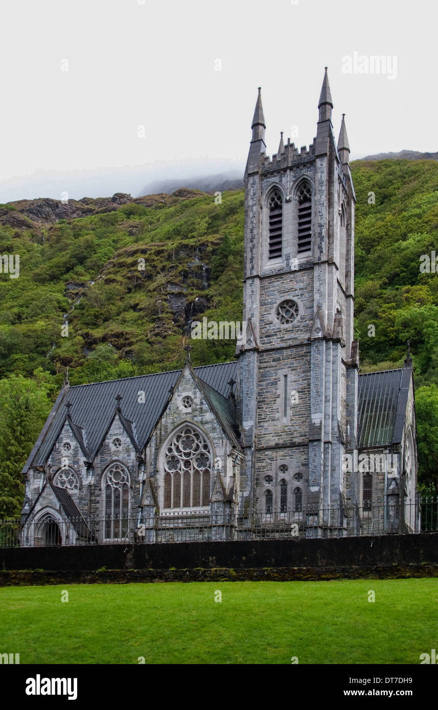 Killooaun Church in ruinsChurch · 1.3 mi
 Menlough IRAMemorial · 3.3 mi
 Tiaquin Castle (Site of)Castle, unclassified · 3.9 mi
 Woodlawn WoodsForest · 4.0 mi
 European Crab AppleEuropean Crab Apple · 4.0 mi
 Garbally Castle (in ruins)Castle, tower house · 4.0 mi
 Kilconnell AbbeyHeritage attraction · 6.9 mi
 Battle of Aughrim Interpretative CentreMuseum · 11 mi
 Battle of AughrimMajor battlefield · 11 mi