What is recorded here
Located on the summit of Creagh Hill, which is a designed landscape. A small copse (diam. c. 60m ) is depicted on the 1839 and later eds of the OS 6-inch map. This is separated by a berm (Wth c. 15m) from a surrounding field bank that connects to a NNE-SSW passage spanning the hill. This in turn connets to a path between field banks (Wth c. 20-30m) call ed 'The Sweep Walk' arund the base of the hill. At the summit of the hill a chord (C 80m) of the outer bank survives as a field bank (Wth c. 1m; H c. 1.5m) and hedge WSW-NNE.
Compiled by: Michael Moore
Date of upload: 2 March, 2012
- Townland
- Creagh Upper
- Official type
- Designed landscape feature
- Official record
- WX006-090----
- What survives
- Recorded monument
- Location
- Official recorded centre point
The monument record does not grant public access. Check the route and ask the landowner before entering private land.
Places near here
 Toberchreest — KilnahueHoly well · 709 yd
 Bullan — KilnahueCross · 894 yd
 Gorey HillMountain / peak · 1181 yd
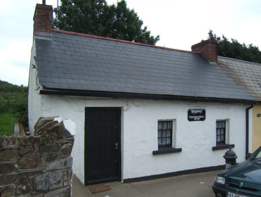 Bygones"" — Grattan Streethouse · 1415 yd
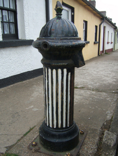 water pump — Grattan Streetwater pump · 1415 yd
 1798 MonumentMemorial · 1494 yd
 Market HouseHeritage attraction · 1.1 mi
 Ballingarry WoodForest · 1.7 mi
 Carriganeagh RockMountain / peak · 2.4 mi
 Mountnebo WoodForest · 2.9 mi
 Castle — motte in Pallis LowerCastle — motte · 4.9 mi
 Indicated — Middletown (ballaghkeen By., Ardamine Ed)Castle — motte and bailey · 5.0 mi