What is recorded here
On a slight rise in reclaimed pasture with a SW-NE stream c. 20m to the SE. Hachured as a circular enclosure (diam c. 30m) on the 1842 ed. of the OS 6-inch map and as a circular walled enclosure (diam. c. 35m) on the 1921 ed. It is not visible at ground level.
Compiled by: Michael Moore
Date of upload: 12 April 2017
Cragleagh is a likely early-medieval ringfort, indicated by its circular enclosure and walling visible on historical Ordnance Survey maps from 1842 and 1920. Though specific folklore is not recorded, such sites were often associated with fairy lore in Irish tradition, believed to be entrances to the Otherworld or homes of supernatural beings.
The monument record does not grant public access. Check the route and ask the landowner before entering private land.
- What survives
- Recorded monument
Places near here
 IndicatedFairy fort / stone ringfort · 350 yd
 Enclosure in ShanvoghEnclosure · 1160 yd
 Bushypark Househouse · 1166 yd
 Poul na gollorCave · 1725 yd
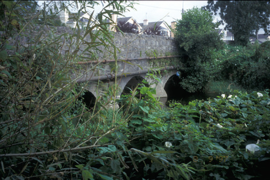 Claureen Bridgebridge · 1.4 mi
 Inch Castle (in Ruins)Castle, tower house · 1.5 mi
 Shallee Castle (in Ruins)Castle, tower house · 1.5 mi
 Post Office FieldNature reserve · 1.8 mi
 Clare MuseumMuseum · 2.0 mi
 Ennis AbbeyMuseum · 2.0 mi
 Alice and Gwendoline CaveMuseum · 2.2 mi
 Rockmount WoodWood · 2.3 mi