What is recorded here
On the NW-facing slope of slightly rising pasture with good views in all directions. The fields to S and W are in tillage and the field was ploughed at time visit. A field boundary running NW-SW intersects the enclosure at S and W, and is incorporated into the bank and fosse in the SW quadrant, as depicted on the 2nd…
Read the whole record
On the NW-facing slope of slightly rising pasture with good views in all directions. The fields to S and W are in tillage and the field was ploughed at time visit. A field boundary running NW-SW intersects the enclosure at S and W, and is incorporated into the bank and fosse in the SW quadrant, as depicted on the 2nd (1903) ed. OS 6-inch map. The field boundary which ran ENE from the N quadrant of the monument has been removed. This poorly preserved, partially levelled, enclosure (overall diam. 43.3m NE-SW; 42.5m NW-SE) consists of a circular area (diam. 32.5m NW-SE) defined by a barely visible fosse (Wth 5m approx.; D 0.1m). There is a small quarry (dims. 20m x 6m; D 0.8m) in the interior of the NW quadrant.
From the National Monuments Service (Archaeological Survey of Ireland) record TS043-038
Places near here
Photo credits
- National Inventory of Architectural Heritage
- Mike Searle, Geograph · CC BY-SA 2.0
- Edvardforeve, Wikimedia Commons · CC BY-SA 4.0
- A.-K. D., Wikimedia Commons · CC BY-SA 4.0
- Neville Goodman, Geograph · CC BY-SA 2.0
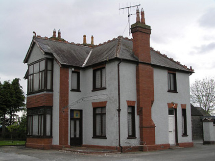 presbytery/parochial/curate's house1193 yd
 Clonamicklon Castle (in ruins)Bawn · 1241 yd
 Catholic Church of the Sacred HeartChurch/chapel · 1738 yd
 Kilcooly AbbeyHeritage attraction · 1.2 mi
 Font in KilcoolyabbeyFont · 1.2 mi
 Graveslab in KilcoolyabbeyGraveslab · 1.2 mi
 Rapefield WoodForest · 1.6 miKilcooleyForest · 1.6 miBregaun HillMountain / peak · 1.7 mi
 Grange Castle (in ruins)Castle, tower house · 2.1 mi
 Warehouse HillMountain / peak · 4.3 miDerrynaflan TrailHeritage attraction · 5.5 mi
More archaeology and monuments in County Tipperary · All of County Tipperary
What do you know about this place?Tap to add a comment or ask a question