What is recorded here
Adjacent to a farmstead, in pasture, located on a slight rise overlooking a small river c. 40m to NW
Circular platform (17m N−S; 16.2m N−S) defined by a scarp (H 0.9m; Wth slope 1.4m, at N). A central rise in the platform gives it a gently domed profile, so that the centre of the platform has a height of 1.5m above surrounding exterior ground level. This rise grades seamlessly to the perimeter on the S arc, but on the N half, it slopes more abruptly towards the perimeter and then levels out so that there is a 2-3m gap between the base of the slope and the edge of the platform scarp.
Ringed with thorn bushes and beech trees.
Compiled by: Jane O’Shaughnessy
Date of upload: 23 November 2022
A circular Bronze Age burial mound, possibly a ring barrow or cairn; its location on a prominent rise suggests ritual or funerary significance.
The monument record does not grant public access. Check the route and ask the landowner before entering private land.
- What survives
- Recorded monument
Places near here
 Knockanroe FortEnclosure · 442 yd
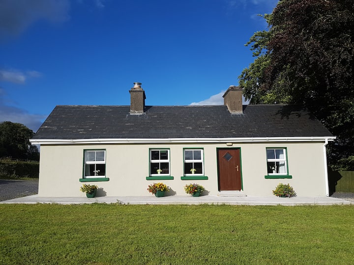 Enclosure in Cottage (costello By.)Enclosure · 576 yd
 Saint Mary's Catholic Churchchurch/chapel · 1474 yd
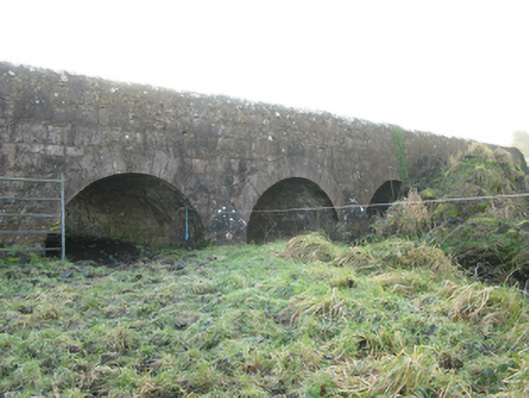 Agloragh Bridgebridge · 1.1 mi
 CastleCastle, unclassified · 2.0 mi
 Slieve DartMountain / peak · 4.9 mi
 Dunmore CastleCastle · 6.8 mi
 Oak WoodForest · 8.0 mi
 Land of the GiantsHeritage attraction · 8.8 mi
 Geoffrey's WoodForest · 8.9 mi
 Mass RockNamed rock · 15 mi
 LisgortnalassFairy fort / earthen ringfort · 877 yd