What is recorded here
Indicated is a fairy fort in County Cavan, Ireland. The site is a slightly raised circular area fifty-five metres across, enclosed by a low bank of earth and stone from the northeast through the south to the west, with modern stone walls elsewhere. The original entrance is no longer recognisable. The place is marked Fort on the 1836 and 1876 Ordnance Survey maps, yet it may be only a landscape feature.
Slightly raised circular area (int. diam.55m) enclosed by a low bank of earth and stone from NE-S-W and elsewhere by modern stone walls. Original entrance not recognisable. Although the site is marked 'Fort' on OS 1836 and 1876 eds., it may in fact be a landscape feature.
The above description is derived from the published 'Archaeological Inventory of County Cavan' (Dublin: Stationery Office, 1995). In certain instances the entries have been revised and updated in the light of recent research.
Date of upload/revision: 22 December 2008
The monument record does not grant public access. Check the route and ask the landowner before entering private land.
- What survives
- Recorded monument
Places near here
 Porters IslandIslet · 468 yd
 Corronagh Sand BankIslet · 529 yd
 Knockatemple WoodlandWood · 985 yd
 Mass-rock in KnocknagartanMass-rock · 1398 yd
 Rahardrum Sand BankWood · 1452 yd
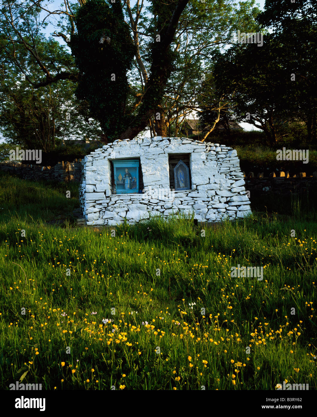 Holy well in KnocknagartanHoly well · 1480 yd
 Saint Bartholomew's Catholic Churchchurch/chapel · 1501 yd
 The Lady's CottageRuins · 1585 yd
 Welcome to VirginiaVisitor information · 1663 yd
 Ramor Aontaithe C.L.G. Dolan ParkMemorial · 1679 yd
 RahardrumCastle, unclassified · 1758 yd
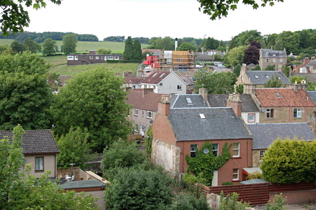 MoatCastle, motte and bailey · 1.1 mi