
What is recorded here
Located on the summit of a NW-SE drumlin ridge. It is depicted only on the 1907 edition of the OS 6-inch map as a small wooded enclosure. This is a raised circular area (int. diam. 14.5m N-S; 13.5m E-W; ext. diam. 16m N-S; 14.5m E-W; H at W c. 0.1m to c. 0.35m at S) which slopes gradually from N-S and has mature deciduous trees planted on the perimeter. There is a large depression on the E side which is most likely the result of fallen trees. There is a large concentration of field stones along the outer edge N-SE but there is no evidence of a fosse. This is probably a tree-ring.
Compiled by: Claire Breen
Date of upload: 29 February 2012
A local fairy fort (ringfort/rath); wider significance not recorded.
The monument record does not grant public access. Check the route and ask the landowner before entering private land.
- What survives
- Recorded monument
Places near here
 Giants GraveCourt tomb · 387 yd
 Crannog in MoneyvolanCrannog · 1157 yd
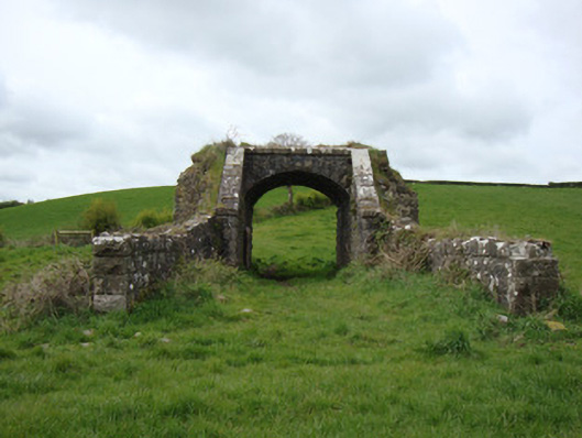 bridgebridge · 1173 yd
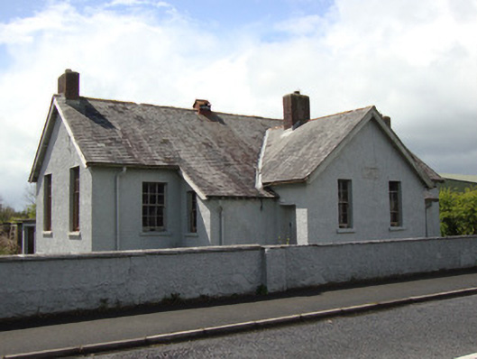 Annyalla National Schoolschool · 1.3 mi
 Monaghan WayWalking route · 1.6 mi
 The CrescentMemorial · 2.5 mi
 John Francis GreenMemorial · 2.6 mi
 Fort HillWood · 3.1 mi
 Bawn in OnomyBawn · 3.1 mi
 Blaney CastleCastle · 3.1 mi
 Harper's IslandIslet · 3.5 mi
 Garmany's IslandIslet · 3.6 mi
Other information
Photo: Credit not shown in the picture search · Rights wording not checked; contact us if this picture should be removed