What is recorded here
Indicated is a broad earthen ring on a Mayo ridge, its ancient bank now buried under stone walls and brambles. The field fences radiate outward like spokes on a wheel, turning the fort into the centre of an ordinary pasture. What began as a boundary for someone else has become a boundary for everyone, shaping the land long after the first name was forgotten.
In pasture, on elevated ground. The rath and the fields immediately surrounding it occupy the fairly level top of a hill or ridge with a fall of ground at NE and SW.
Slightly raised roughly circular area (estimated diam. c. 30m) defined by an earthen bank (Wth 4m at S, 3.5m at N; int. H 0.9m at S, 0.4m at N; ext. H 1.7m at S, 1.5m at N). An arc of fosse (Wth 2.5-3m) with an external bank (Wth 3.7m; int. H 1m; ext. H 0.5m) survives at SE−SW, but cannot be traced elsewhere, except for slight, short length of the outer bank at N.
The rath has been incorporated into a later system of field fences, and the inner bank has been modified as a result, so that it is faced and topped with stone walling in parts, much of this now dilapidated and tumbled. The extant arc of outer bank has also been modified: it is topped and faced internally with stones and now serves as a field boundary. Several field walls radiate out from the rath on all sides, and at NE a disused trackway flanked by field walls extends to NE from the rath.
The rath interior is level, much of it now obscured by clumps of brambles. The perimeter is thickly ringed with hawthorn, hazel and ash trees and brambles.
Compiled by: Jane O’Shaughnessy
Date of upload: 26 November 2021
The monument record does not grant public access. Check the route and ask the landowner before entering private land.
- What survives
- Recorded monument
Places near here
 CrossCross · 381 yd
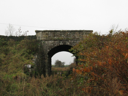 bridgebridge · 927 yd
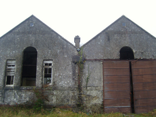 Lisduff National Schoolschool · 1047 yd
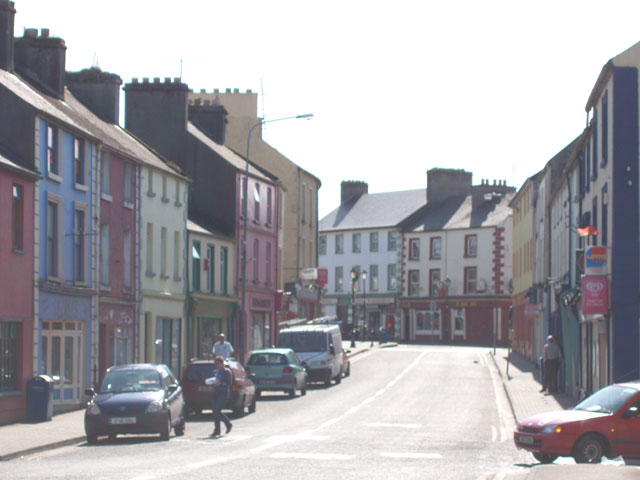 IndicatedFairy fort / earthen ringfort · 1176 yd
 I'll Send You The FareMemorial · 1605 yd
 Kiltimagh MuseumMuseum · 1663 yd
 Thorn CaveCave · 2.5 mi
 Carrowbeg WoodWood · 3.0 mi
 CashlankeeghCastle, unclassified · 3.0 mi
 Castle in ruinsCastle, tower house · 5.0 mi
 East Mayo Brigade MonumentMemorial · 5.4 mi
 Knock ShrineHeritage attraction · 5.6 mi