What is recorded here
Located on the NE-facing slope of a hill and incorporated in a field boundary. It is depicted as a rectangular structure at the E end of a short lane leading W to a cottage on the 1834 edition of the OS 6-inch map. The cottage is c. 40m to the SW but is now derelict. The lime-kiln was discovered during drainage and reclamation work in 1985. This is a drystone-built structure of which two walls (L of both walls c. 2.2m; H c. 1.2m) and the remains of what appears to be a corbelled roof survive. It is overgrown with nettles and brambles and a large amount of collapsed stone is on the floor.
Compiled by: Claire Breen
Date of upload: 14 April 2011
The monument record does not grant public access. Check the route and ask the landowner before entering private land.
- What survives
- Recorded monument
Places near here
 IndicatedFairy fort / earthen ringfort · 557 yd
 Man-made underground passage in CorracharraMan-made underground passage · 826 yd
 farmyard complexfarmyard complex · 1090 yd
 CarrickcreenyMountain / peak · 1564 yd
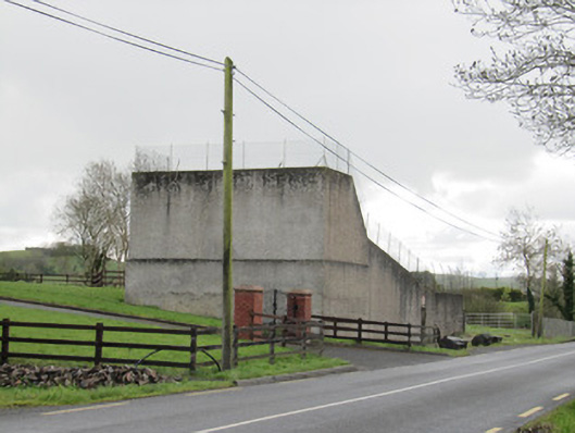 handball alleyhandball alley · 1733 yd
 Gull IslandIslet · 1.4 mi
 Bush IslandIslet · 1.6 mi
 Sillan LakeshoreWood · 1.6 mi
 Senator Billy Fox 1939 - 1974Memorial · 1.8 mi
 Bawn in LisdrumskeaBawn · 1.9 mi
 Kinnea Corlattylannan ForestForest · 3.4 mi
 RaferaghMountain / peak · 3.4 mi