
What is recorded here
Marked 'Fort' on OS 1836 eds. Circular area (int. diam. 26.5m) enclosed by a partly collapsed drystone wall. Original entrance not recognisable. A ring of beech trees skirts the internal face of the wall.
The above description is derived from the published 'Archaeological Inventory of County Cavan' (Dublin: Stationery Office, 1995). In certain instances the entries have been revised and updated in the light of recent research.
Date of upload/revision: 22 December 2008
A local fairy fort (ringfort/rath); wider significance not recorded.
The monument record does not grant public access. Check the route and ask the landowner before entering private land.
- What survives
- Recorded monument
Places near here
 Ballaghanea Portal TombArchaeological place · 1024 yd
 RahardrumCastle, unclassified · 1486 yd
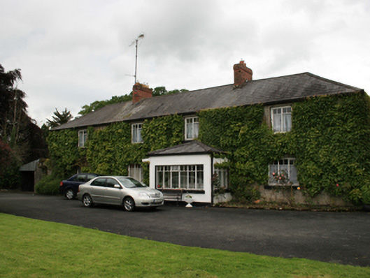 farm housefarm house · 1568 yd
 Sessile OakSessile Oak · 1670 yd
 CornasheskMountain / peak · 1734 yd
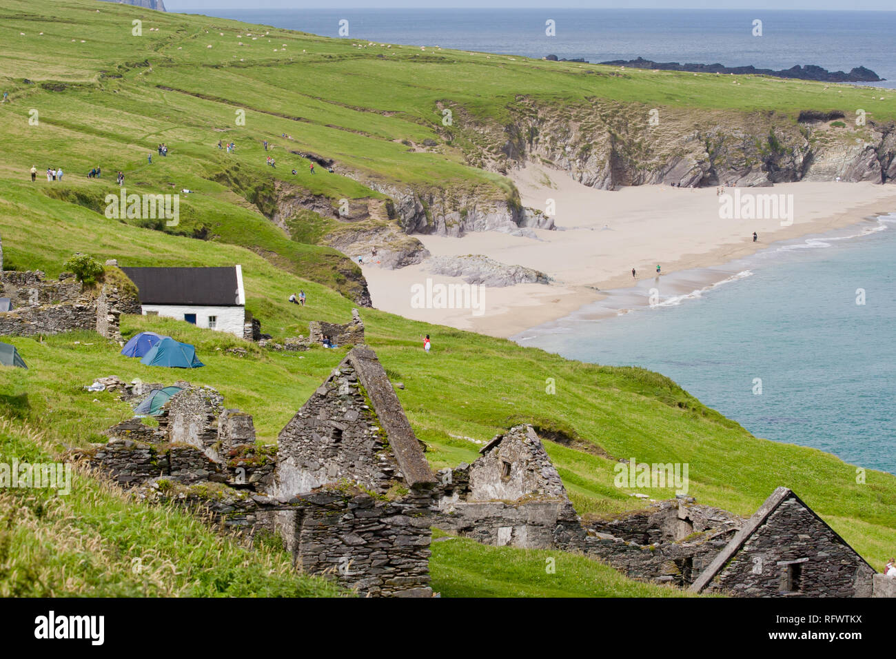 Ballaghanea IslandIslet · 1.0 mi
 Ballaghanea Island SouthIslet · 1.0 mi
 Ramor Aontaithe C.L.G. Dolan ParkMemorial · 1.0 mi
 Rahardrum Sand BankWood · 1.1 mi
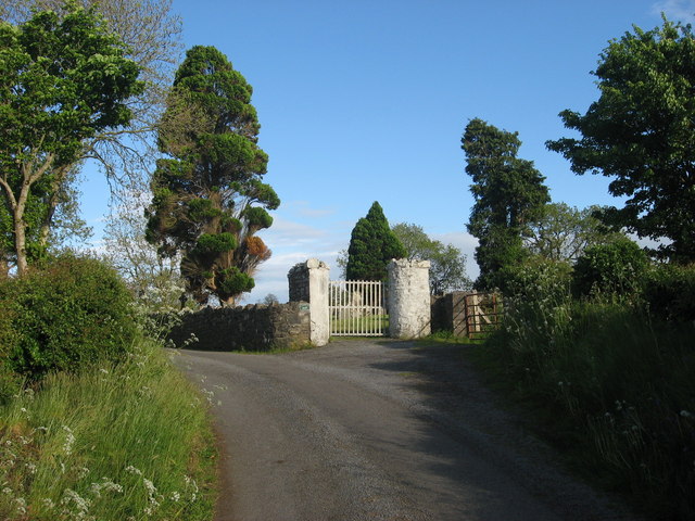 Grave YardGraveyard · 1.2 mi
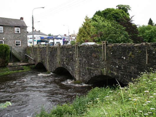 bridgebridge · 1.3 mi
 Welcome to VirginiaVisitor information · 1.5 mi
Other information
Photo: Credit not shown in the picture search · Rights wording not checked; contact us if this picture should be removed